Enable Location

We need your location to show you interesting places around you

Discover nearby places

Find interesting locations and hidden gems around you

Precise directions

Get accurate directions and distances to places

Your location is never shared with other users. It's only used when you tap the location button.

Hotan County

Log in to your account

Start exploring — it's free

Trusted by 62,933 travelers worldwide

Continue with Google
Continue with Apple
or

We will send you a code to connect

By continuing, you accept our Terms and Conditions and our Privacy Policy

Check your inbox

We've sent a pincode in your inbox. Please enter the code below.

Discussion Reviews 1 Photos
12.8k Popularity

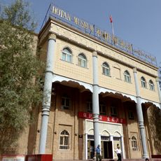
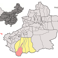
Hotan County, Administrative county in Hotan Prefecture, China

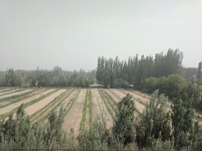
Hotan County is an administrative division in southwestern Xinjiang located between the Taklamakan Desert and the Kunlun Mountains. The county encompasses multiple townships and villages clustered around oases, with terrain ranging from flat desert plains to mountainous areas.

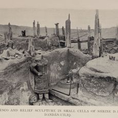
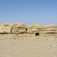
The region was historically known by the Sanskrit name Godana and underwent significant cultural shifts over centuries. It became an official administrative county in 1913 and served as a crossroads along ancient trade routes through Central Asia.

The local people are predominantly Uyghur and live around desert oases and mountain valleys, maintaining their way of life across scattered settlements. Visitors moving through the region notice how communities gather near water sources where farming and herding remain central to daily routines.

Two major national highways connect the county's scattered settlements: Highway 315 and Highway 219 link communities across the territory. Visitors should prepare for long distances between populated areas and expect varied weather conditions in both desert and mountain zones.

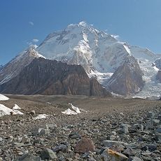
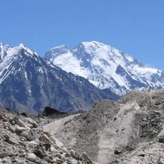
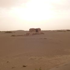
The county administers portions of Aksai Chin, a high plateau with disputed territorial status that contains several lakes including Aksai Chin Lake and Surigh Yilganing Kol. This area remains geographically isolated and ecologically extreme, making exploration a complex undertaking.

The community of curious travelers

AroundUs brings together thousands of curated places, local tips, and hidden gems, enriched daily by 60,000 contributors worldwide.

Start exploring
Location
Capital city
Gujiangbage
GPS coordinates
37.10828,79.93388
Latest update
December 7, 2025 20:43
Reviews
Share your experience

No review yet

Discussions
Start a discussion...

No discussion yet

« Hotan County - Administrative county in Hotan Prefecture, China » is provided by Around Us (aroundus.com). Images and texts are derived from Wikimedia project under a Creative Commons license. You are allowed to copy, distribute, and modify copies of this page, under the conditions set by the license, as long as this note is clearly visible.

Discover hidden gems everywhere you go!

From secret cafés to breathtaking viewpoints, skip the crowded tourist spots and find places that match your style. Our app makes it easy with voice search, smart filtering, route optimization, and insider tips from travelers worldwide. Download now for the complete mobile experience.

Around Us App Screenshot

A unique approach to discovering new places

Le Figaro

All the places worth exploring

France Info

A tailor-made excursion in just a few clicks

20 Minutes

Around Us
Travel Guide & Maps
Download

Send to your phone

QR Code
1

Open the camera app on your mobile.

2

Point at the QR code with your camera. A notification will appear.

3

Tap the notification to open the link.