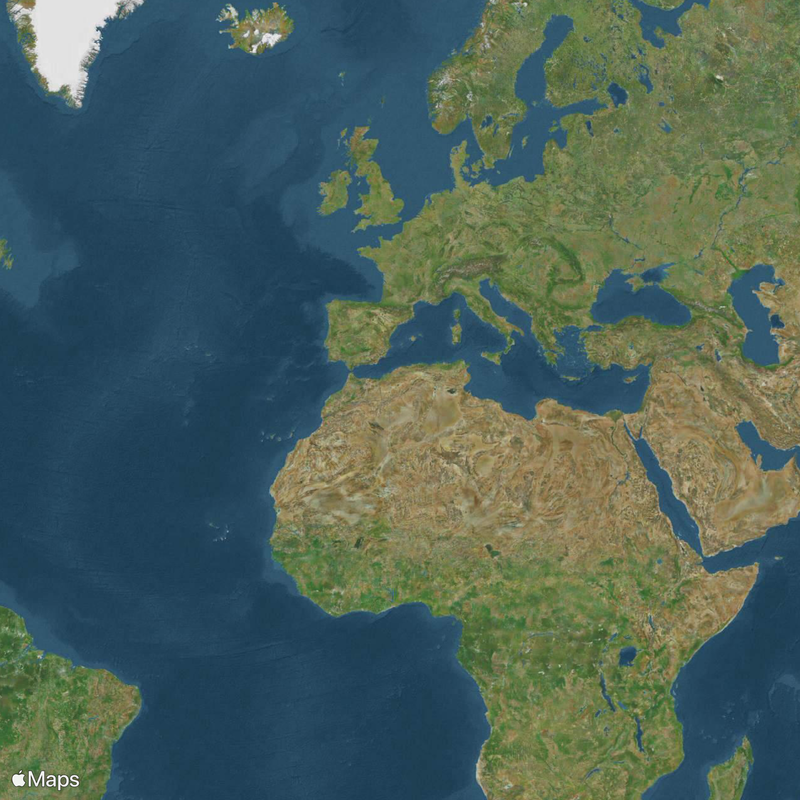
Huai River, River system in Anhui and Jiangsu, China
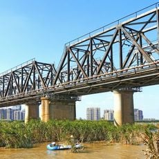
The Huai River flows about 1,100 kilometers across eastern China, connecting Anhui, Henan, and Jiangsu provinces. A system of tributaries and channels shapes the waterway's path through this region.
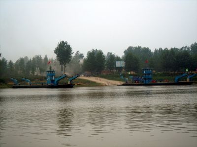
The waterway developed through natural sedimentation and erosion over millions of years, becoming a vital trade route for centuries. In 1938, dikes were deliberately breached near Zhengzhou as a wartime defense strategy.
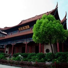
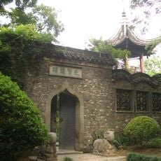
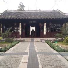
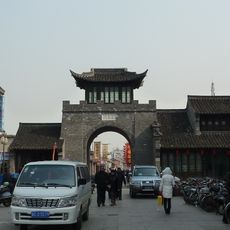
The river marks a traditional divide between northern and southern China, separating regions with different climates and ways of life. Communities along its banks have adapted over time to the regular flooding, developing their own methods to live with this natural rhythm.
The waterway is controlled through channels and flood management systems that allow boats and smaller vessels to navigate. The best time to explore is during drier months when water levels are more stable.
The river valley is known for extreme flood risk, with an average of about 94 major floods per century between 1500 and 1950. This frequency made the region one of China's most water-affected landscapes.
The community of curious travelers
AroundUs brings together thousands of curated places, local tips, and hidden gems, enriched daily by 60,000 contributors worldwide.