
Qapugtang, town in Qinghai, People's Republic of China
Location: Zadoi County
Elevation above the sea: 4,068.5 m
GPS coordinates: 32.89614,95.30428
Latest update: July 30, 2025 14:21
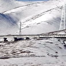
Qingzang railway
66 km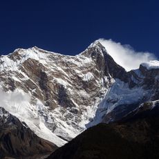
Namcha Barwa
364.2 km
Yarlung Tsangpo Grand Canyon
349.3 km
Bayan Har Mountains
326.8 km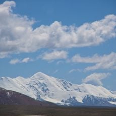
Amne Machin
438 km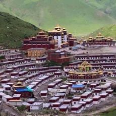
Dzogchen Monastery
344.6 km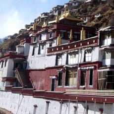
Drigung Monastery
427.7 km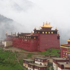
Palpung Monastery
356.8 km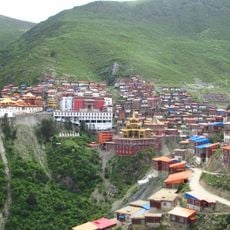
Katok Monastery
385.6 km
Dzongsar Monastery
371.5 km
Geladaindong Peak
391.1 km
Palyul
381.3 km
Derge Parkhang
331.1 km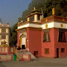
Triten Norbutse
191.4 km
Riwoche Monastery
203.9 km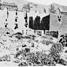
Galden Jampaling Monastery
263.3 km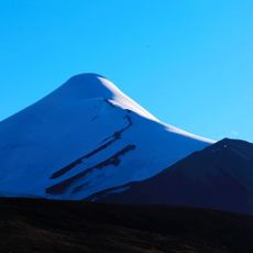
Yuzhu Peak
321.8 km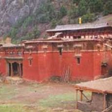
Karma Gon Monastery
192.3 km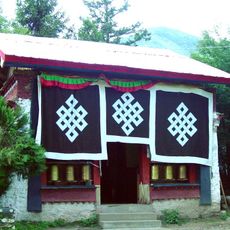
Tsozong Gongba Monastery
347.3 km
Lamaling Monastery
392.3 km
Bairiga
436.6 km
Gonchen Monastery
331.3 km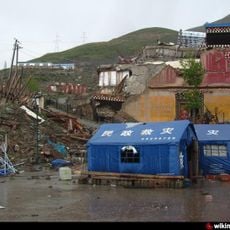
Thrangu Monastery
160.1 km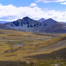
Mila Mountain
441.7 km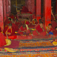
Sershul Monastery
337.9 km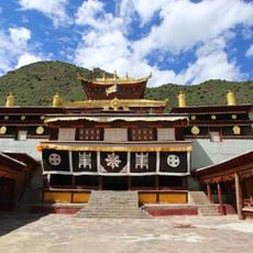
Beri Gonpa
452.2 km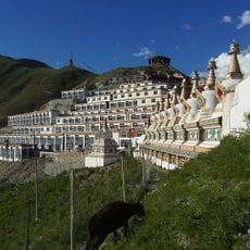
Jyekundo Monastery
160.5 km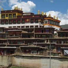
Dargye Monastery
439.2 kmReviews
Visited this place? Tap the stars to rate it and share your experience / photos with the community! Try now! You can cancel it anytime.
Discover hidden gems everywhere you go!
From secret cafés to breathtaking viewpoints, skip the crowded tourist spots and find places that match your style. Our app makes it easy with voice search, smart filtering, route optimization, and insider tips from travelers worldwide. Download now for the complete mobile experience.

A unique approach to discovering new places❞
— Le Figaro
All the places worth exploring❞
— France Info
A tailor-made excursion in just a few clicks❞
— 20 Minutes