Xinghua Township, Dangchang County, township in Gansu, People's Republic of China
Location: Tanchang County
Elevation above the sea: 2,160 m
GPS coordinates: 34.08176,104.58318
Latest update: March 25, 2025 11:52
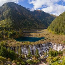
Jiuzhaigou Valley
116.8 km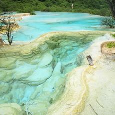
Huanglong
164.8 km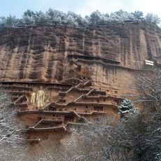
Maijishan Grottoes
134.2 km
Pearl Shoal Waterfall
120.5 km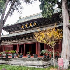
Bao'en Temple
186 km
Fangmatan
144 km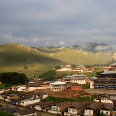
Taktsang Lhamo Monastery
179.8 km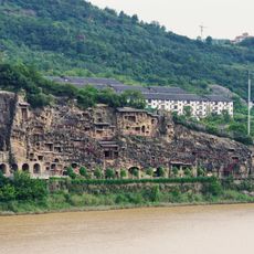
Thousands buddhas cliff
214.2 km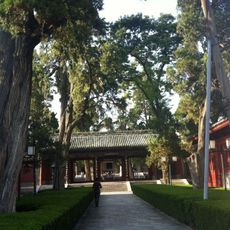
Fuxi Temple
117 km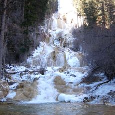
Munigou
193.8 km
Dabuzi
65.2 km
Hu's Mansion
118.3 km
Huangze Temple
215.4 km
Tso Monastery
184.7 km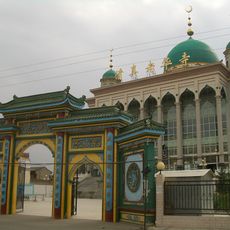
Laohua Mosque
210.2 km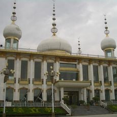
Multicoloured Mosque
210.2 km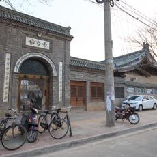
Houjie Mosque
118.4 km
Yuquan Guan
117.6 km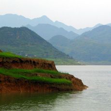
Baozhusi Dam
198.4 km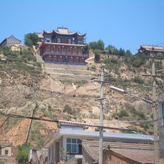
Huyin Temple
211.9 km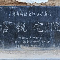
Former residence of Ha Rui
118 km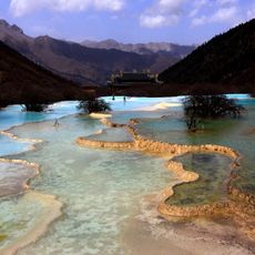
Huanglong Biosphere Reserve
156.9 km
Five Flowers Lake
121.6 km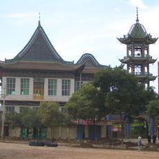
Linxia Chengjiao Mosque
210.3 km
Songpan North mosque
184.3 km
Yousuotun mosque
179 km
诺日朗瀑布
97.6 km
Visited this place? Tap the stars to rate it and share your experience / photos with the community! Try now! You can cancel it anytime.
Discover hidden gems everywhere you go!
From secret cafés to breathtaking viewpoints, skip the crowded tourist spots and find places that match your style. Our app makes it easy with voice search, smart filtering, route optimization, and insider tips from travelers worldwide. Download now for the complete mobile experience.

A unique approach to discovering new places❞
— Le Figaro
All the places worth exploring❞
— France Info
A tailor-made excursion in just a few clicks❞
— 20 Minutes