
松岭镇, Gemeinde in China
Location: Kuancheng Manchu Autonomous County
GPS coordinates: 40.42794,118.58502
Latest update: March 15, 2025 23:18
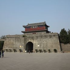
Shanhai Pass
109.7 km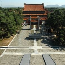
Eastern Qing Tombs
83.5 km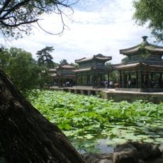
Chengde Mountain Resort and its outlying temples
82.9 km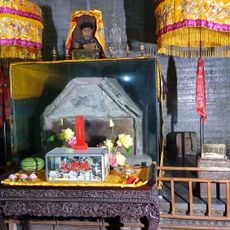
Yuling Mausoleum
84.1 km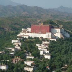
Putuo Zongcheng Temple
85.5 km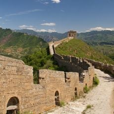
Simatai Great Wall
113.1 km
Tiaojishan Formation
110 km
Dule Temple
109.6 km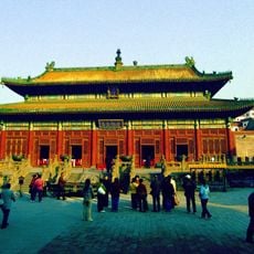
Puning Temple
84.7 km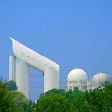
LAMOST
85.6 km
Qinhuangdao Olympic Sports Center Stadium
100.3 km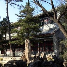
Chengde Mountain Resort
82.9 km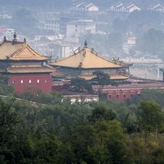
Xumi Fushou Temple
84.8 km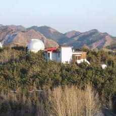
Xinglong Station
85.7 km
Tangshan Earthquake Memorial Park
98.9 km
Jiumenkou
104.3 km
Wenjin Ge
83.2 km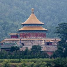
Pule Temple
82.6 km
South Lake of Tangshan
99.8 km
Puren Temple
82.4 km
White Pagoda of Ji County
109.6 km
Anyuan Temple
83.3 km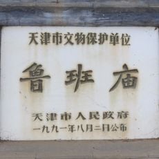
Temple of Lu Ban in Ji County
109.2 km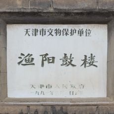
Yuyang Gulou
109.4 km
Jinhai Lake
111.8 km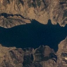
打虎石水库
107.1 km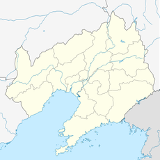
Gongshanzui Shuiku
102.9 km
Mount Wuling
99.6 kmReviews
Visited this place? Tap the stars to rate it and share your experience / photos with the community! Try now! You can cancel it anytime.
Discover hidden gems everywhere you go!
From secret cafés to breathtaking viewpoints, skip the crowded tourist spots and find places that match your style. Our app makes it easy with voice search, smart filtering, route optimization, and insider tips from travelers worldwide. Download now for the complete mobile experience.

A unique approach to discovering new places❞
— Le Figaro
All the places worth exploring❞
— France Info
A tailor-made excursion in just a few clicks❞
— 20 Minutes