Sachsenheim, municipality in Germany
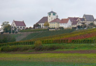
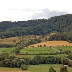
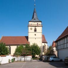
Sachsenheim is a town in Baden-Württemberg with several districts spread across flat terrain. Its appearance is shaped by residential buildings, commercial structures, and green areas that connect housing neighborhoods with surrounding farmland.
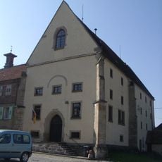
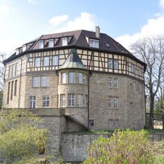
The town grew from several villages that developed over centuries into a connected community. During industrial times, factories and workshops emerged that shaped its economic structure and development, which remains visible today.
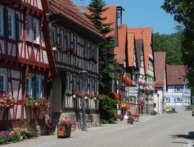
The town reflects the character of its industrial past through scattered workshops and small factories that still operate today alongside residential areas. This working landscape shapes how locals move through the space and use their public areas, creating a practical rather than ornamental environment.
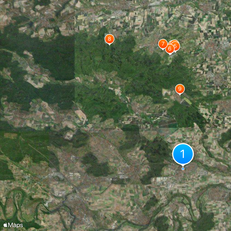
The town is easy to reach by car and has parking available in various districts. Since the neighborhoods spread across a wide area, it makes sense to explore by vehicle or use public transportation.
The community of curious travelers
AroundUs brings together thousands of curated places, local tips, and hidden gems, enriched daily by 60,000 contributors worldwide.