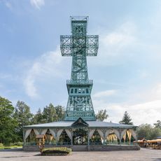
Harz, Mountain range in northern Germany
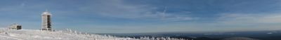
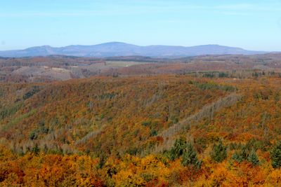
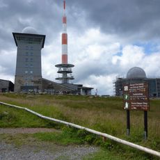
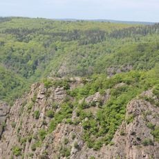
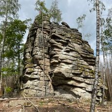
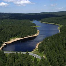
This mountain range sits between the Weser and Elbe rivers and runs roughly 100 kilometers from southeast to northwest. The highest point rises to 1141 meters, and dense conifer forests cover the upper slopes while meadows and small streams wind through the valleys below.
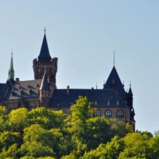
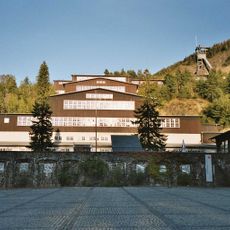
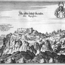
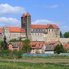
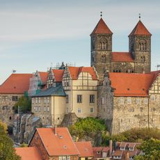
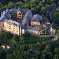
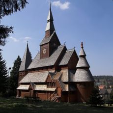
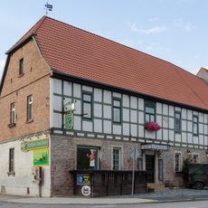
The discovery of silver deposits near Goslar in 968 brought miners and traders into the area. For centuries, mining and smelting shaped the growth of many settlements along the valleys and ridges.
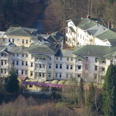
Traditional timber houses in the mountain towns now host inns where visitors can try regional dishes and local beers. On summer weekends, hiking clubs often lead group walks, and locals maintain their mountain huts as gathering spots for festivals and community events.
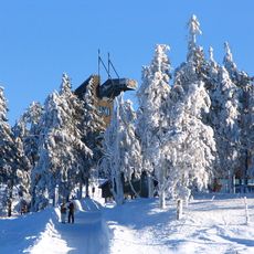
Several hiking trails cross the forested slopes and link the towns, with signs and maps helping visitors find their way. In winter, slopes open for skiing and sledding, while autumn fog can sometimes limit visibility across the ridges.
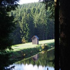
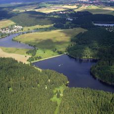
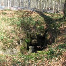
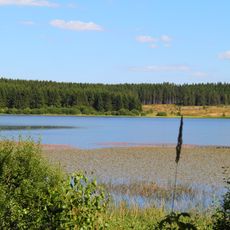
A system of channels and ponds runs roughly 70 kilometers through the upper elevations, originally built to power the mines. Today, visitors can walk along these old waterways and see the clever engineering work of earlier builders.
The community of curious travelers
AroundUs brings together thousands of curated places, local tips, and hidden gems, enriched daily by 60,000 contributors worldwide.