Enable Location

We need your location to show you interesting places around you

Discover nearby places

Find interesting locations and hidden gems around you

Precise directions

Get accurate directions and distances to places

Your location is never shared with other users. It's only used when you tap the location button.

Coesfeld

Log in to your account

Start exploring — it's free

Trusted by 62,833 travelers worldwide

Continue with Google
Continue with Apple
or

We will send you a code to connect

By continuing, you accept our Terms and Conditions and our Privacy Policy

Check your inbox

We've sent a pincode in your inbox. Please enter the code below.

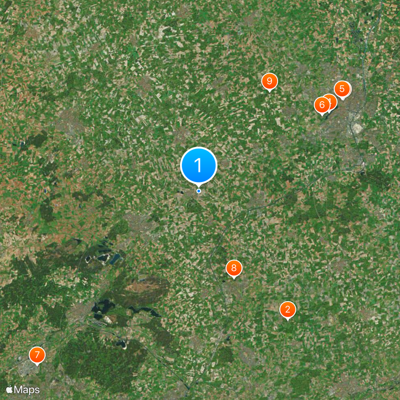
Coesfeld, Rural district in Münsterland, Germany

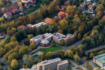
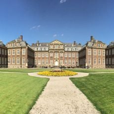
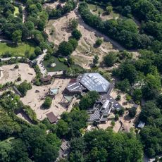
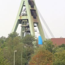
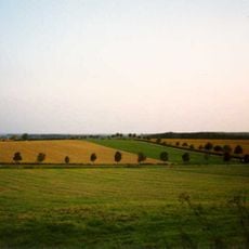
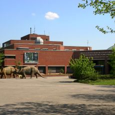
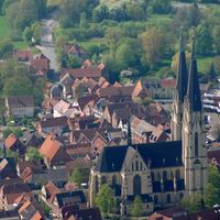
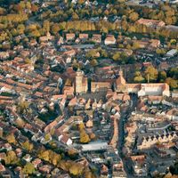
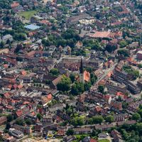
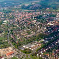
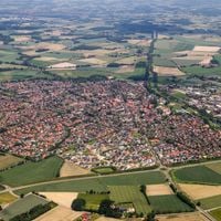
Coesfeld district spreads across the Münsterland region with several municipalities, including Dülmen and Billerbeck. The area features rolling farmland and gentle landscapes typical of rural North Rhine-Westphalia in northwestern Germany.

The district took its current shape in 1975 when separate administrative areas merged together, incorporating municipalities from surrounding regions. This reorganization created the territorial arrangement that exists today.

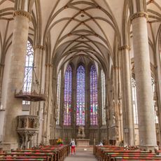
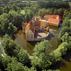
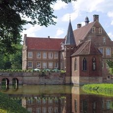
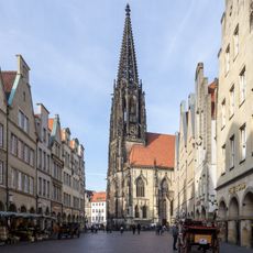
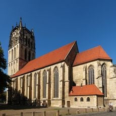
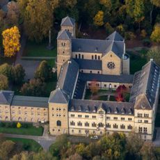
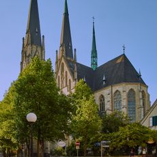
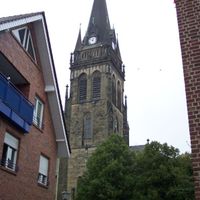
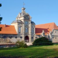
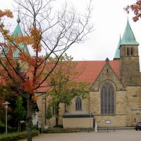
The name Saint Liudger on the regional symbol reflects the deep religious roots of the area and the enduring importance of the first bishop of Münster to local communities. Churches and religious sites continue to shape the character of the landscape and daily life across the municipalities today.

The area is best explored by car, as the municipalities are connected by good road networks throughout the district. Visitors should allow time to discover the smaller towns and rural landscape at a leisurely pace.

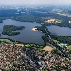
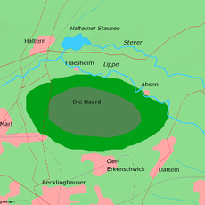
The Lippe River marks the southern boundary of the district and creates a natural waterway that shapes the landscape. This river serves as a key landmark and contributes to the green corridors that run through the rural area.

The community of curious travelers

AroundUs brings together thousands of curated places, local tips, and hidden gems, enriched daily by 60,000 contributors worldwide.

Start exploring
Inception
1975
Capital city
Coesfeld
Elevation above the sea
64 m
Part of
Münsterland
Shares border with
Warendorf District, Münster, Steinfurt, Borken, Recklinghausen, Unna, Hamm
GPS coordinates
51.86667,7.38333
Latest update
December 14, 2025 18:04
« Coesfeld - Rural district in Münsterland, Germany » is provided by Around Us (aroundus.com). Images and texts are derived from Wikimedia project under a Creative Commons license. You are allowed to copy, distribute, and modify copies of this page, under the conditions set by the license, as long as this note is clearly visible.

Discover hidden gems everywhere you go!

From secret cafés to breathtaking viewpoints, skip the crowded tourist spots and find places that match your style. Our app makes it easy with voice search, smart filtering, route optimization, and insider tips from travelers worldwide. Download now for the complete mobile experience.

Around Us App Screenshot

A unique approach to discovering new places

Le Figaro

All the places worth exploring

France Info

A tailor-made excursion in just a few clicks

20 Minutes

Around Us
Travel Guide & Maps
Download

Send to your phone

QR Code
1

Open the camera app on your mobile.

2

Point at the QR code with your camera. A notification will appear.

3

Tap the notification to open the link.