East Frisia, Historical coastal region in Lower Saxony, Germany
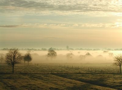
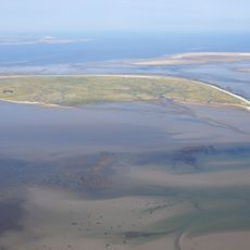
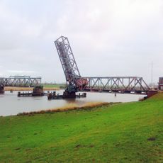
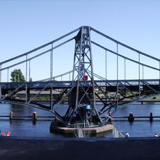
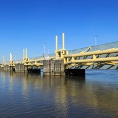
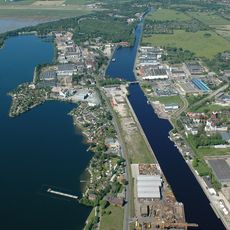
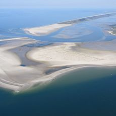
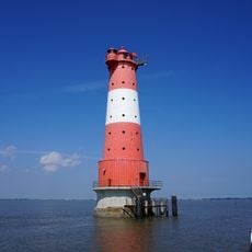
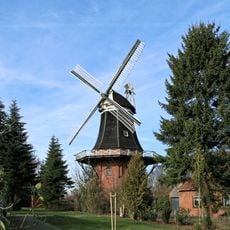
East Frisia is a flat coastal region along the North Sea in Lower Saxony, featuring marshlands, pastures, and a chain of barrier islands. The area stretches across dyked lands connecting the mainland to popular North Sea beaches.
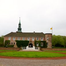
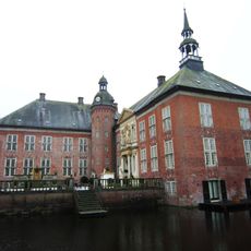
The region remained independent for centuries during the Frisian Freedom period until 1744, when it peacefully became part of Prussia. This transition ended a remarkable era of self-governance that had defined the area for generations.
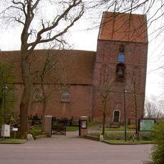
The people here built their lives around the sea, creating settlements on raised mounds called terps as protection against flooding. This adaptation shaped how communities are organized and how locals interact with the landscape today.
The region is accessible by car via Autobahn A31 and by train through regional routes. Ferries connect mainland ports to the barrier islands, providing a way to explore the island communities and beaches.
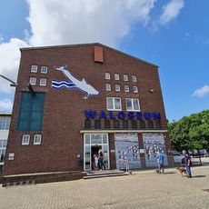
This area has the highest per capita tea consumption in Germany, accompanied by specific drinking ceremonies featuring Kluntje sugar and heavy cream. Visitors often find this tradition unexpected, as it stands out distinctly in the local culture.
The community of curious travelers
AroundUs brings together thousands of curated places, local tips, and hidden gems, enriched daily by 60,000 contributors worldwide.