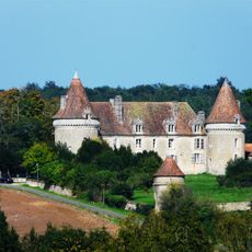
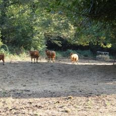
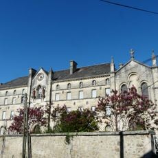
Périgord Limousin Regional Natural Park, Regional natural park in Dordogne, France
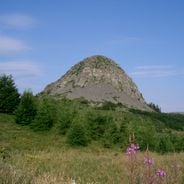
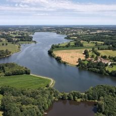
Périgord Limousin Regional Natural Park was created on 9 March 1998 and covers 1,858 km² across 78 communes in the Dordogne and Haute-Vienne departments. Its land rises from 85 m along the Nizonne to 557 m at Courbefy, with chestnut and oak woods, heather moorland and dry limestone grassland. The Dronne, Bandiat, Tardoire and Isle are among the watercourses draining it.
The park was created on 9 March 1998, the first regional natural park in the Limousin. The project, considered from 1984, was initially called Parc Bandiat-Tardoire after two rivers crossing the territory. Its renewed charter, approved on 24 August 2011, added three communes and removed three others, bringing the total to 78 communes.
Local craftspeople work with traditional methods throughout the park, particularly knife-makers in Nontron who still use old techniques passed down through families. This living tradition shapes how visitors experience the villages and workshops nestled within the landscape.
Trails are marked throughout the area and visitor centers provide maps and guidance for planning routes. Weather and season affect conditions, so checking local information before visiting helps ensure a safe and enjoyable experience.
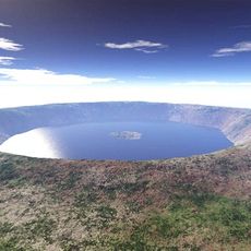
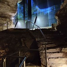
The park's most surprising feature is the Rochechouart impact structure, the eroded remnant of an asteroid strike at the end of the Upper Triassic, roughly 200 million years ago. The crater measured 21 kilometres across; no crater remains, only ejecta blankets of breccias and suevites, shatter cones and thrust faults.
The community of curious travelers
AroundUs brings together thousands of curated places, local tips, and hidden gems, enriched daily by 93,847 contributors worldwide.