
Canton of Barcelonnette, canton of France
Location: Alpes-de-Haute-Provence
Inception: March 22, 2015
Capital city: Barcelonnette
GPS coordinates: 44.38583,6.65250
Latest update: March 26, 2025 08:53
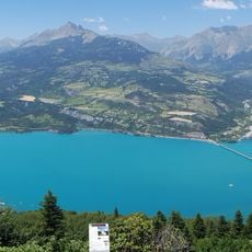
Lac de Serre-Ponçon
28.1 km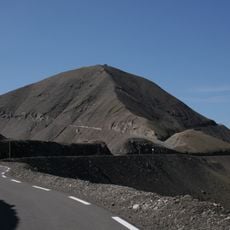
Cime de la Bonette
14.2 km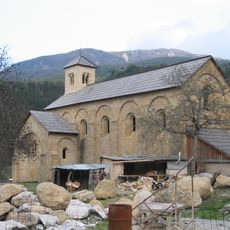
Abbaye Notre-Dame de Boscodon
20.2 km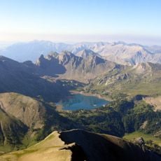
Pelat
14.1 km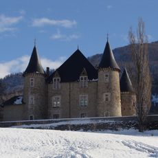
Château de Picomtal
21.7 km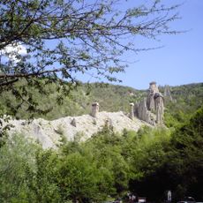
Demoiselles Coiffées de Pontis
27.4 km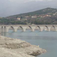
Viaduc de Chanteloube
30.7 km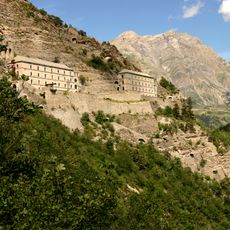
Fort de Tournoux
12.3 km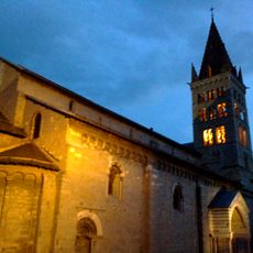
Embrun Cathedral
23.3 km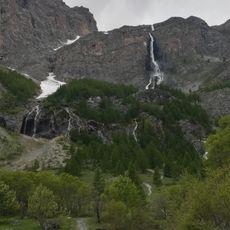
Cascate di Stroppia
23.7 km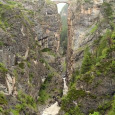
Pont du Châtelet
19.8 km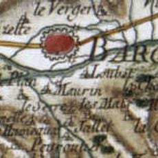
Old poscards of Carrières de Maurin
27.8 km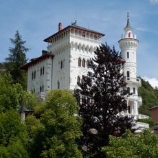
Château des Magnans
8 km
Tête de l'Estrop
16.2 km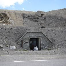
Ouvrage Restefond
13.9 km
Aiguille de Chambeyron
24.2 km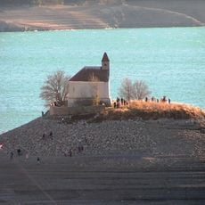
Îlot Saint-Michel
29.5 km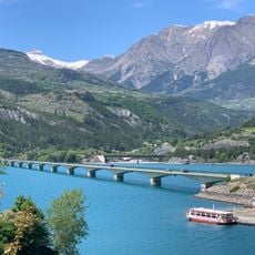
Savines Bridge
25.8 km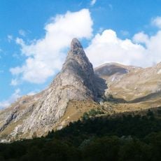
Rocca Provenzale
25.4 km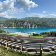
Parc Animalier de Serre-Ponçon
27.6 km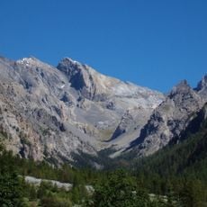
Pics de la Font Sancte
27 km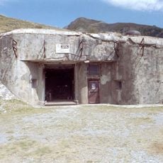
Ouvrage Saint Ours Haut
16.5 km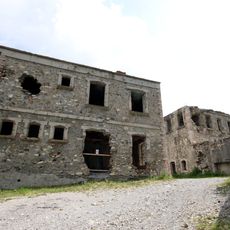
Ouvrage Roche-la-Croix
14.6 km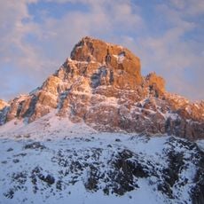
Brec de Chambeyron
22.5 km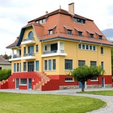
Blue Villa
348 m
Trois-Évêchés
14.3 km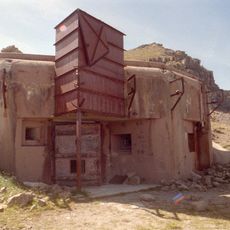
Ouvrage La Moutière
13.9 km
Tête de Moïse
23.3 kmReviews
Visited this place? Tap the stars to rate it and share your experience / photos with the community! Try now! You can cancel it anytime.
Discover hidden gems everywhere you go!
From secret cafés to breathtaking viewpoints, skip the crowded tourist spots and find places that match your style. Our app makes it easy with voice search, smart filtering, route optimization, and insider tips from travelers worldwide. Download now for the complete mobile experience.

A unique approach to discovering new places❞
— Le Figaro
All the places worth exploring❞
— France Info
A tailor-made excursion in just a few clicks❞
— 20 Minutes