Arrondissement of Paris, Administrative division in Paris, France
The arrondissement of Paris is the administrative division of the French capital into 20 numbered districts that cover the entire city. These districts extend from the central areas to the outer edges and are identified by their postal codes from 75001 to 75020.
The arrondissement system was created in 1800 to improve the administration of the expanding capital. This structure has remained the foundation for municipal and postal organization in Paris for more than two centuries.
Each of the 20 districts has its own character: some feature grand boulevards and museums, while others feel like quiet residential areas with small shops and neighborhood cafés. The neighborhoods maintain their own identities, and residents often strongly identify with their district, which shows in local traditions and how streets look and feel.
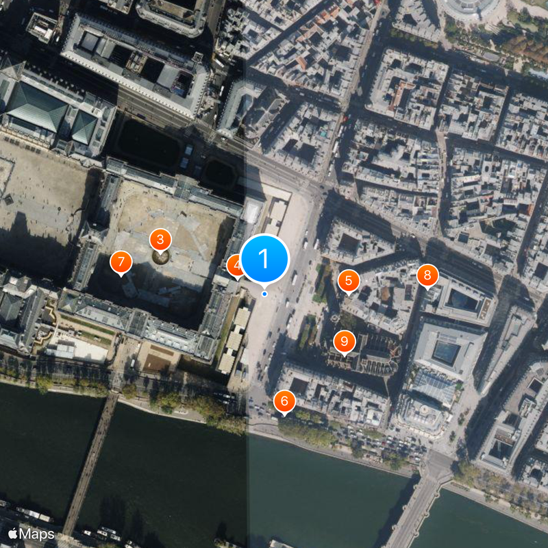
To navigate Paris, it helps to know that the district numbers begin at the center and spiral outward, which makes it easier to find your way around. The postal code tells you which district you are in and helps when planning visits to different parts of the city.
The 20 districts are arranged in a spiral pattern expanding outward from the center, with the first district in the historic heart of the city and numbers increasing as you move outward. This distinctive pattern helps visitors understand the layout of Paris intuitively.
The community of curious travelers
AroundUs brings together thousands of curated places, local tips, and hidden gems, enriched daily by 60,000 contributors worldwide.