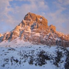
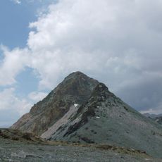
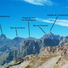
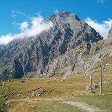
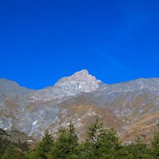
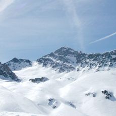
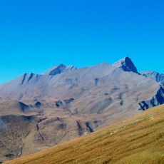
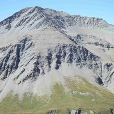
Pointe Haute de Mary, Mountain summit in Alpes-de-Haute-Provence, France
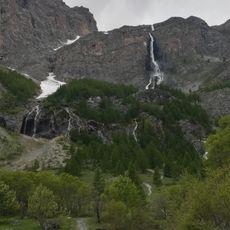
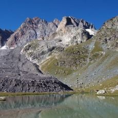
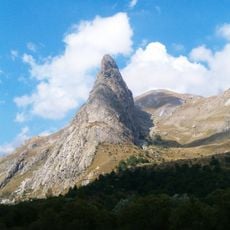
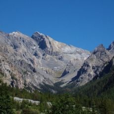
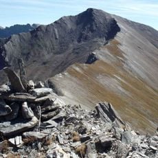
Pointe Haute de Mary is a mountain summit located within the Maniglia-Mary chain that separates the Mary and Autaret valleys. This peak rises to approximately 3,200 meters and forms a distinctive part of the southern Alps in this mountainous region.
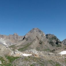
The summit was first climbed in 1879 when mountaineer William Auguste Coolidge reached the peak with guide Almer and his son. This early ascent marked the beginning of recorded climbing activity on this Alpine peak.
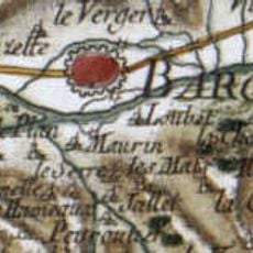
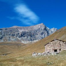
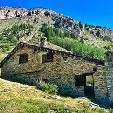
The mountain shapes the landscape of the Haute-Ubaye region in southeastern France and serves as a local landmark for those exploring the high alpine terrain. Its position between different valleys makes it a reference point for people living in these mountain communities.
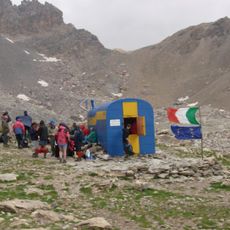
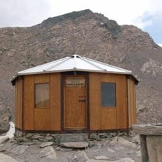
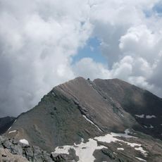
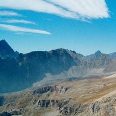
The main approach starts from Jausiers and leads through the Ubaye Valley, beginning at approximately 1,900 meters. A full day is needed to climb the roughly 1,300 meters of elevation gain, and climbers should bring proper mountaineering gear and have solid alpine experience.
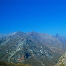
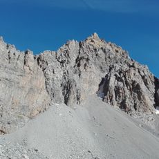
The southeast ridge route features a challenging section with a narrow 15-meter rock chimney equipped with a fixed piton. This technical passage demands specialized climbing gear and advanced mountaineering technique.
The community of curious travelers
AroundUs brings together thousands of curated places, local tips, and hidden gems, enriched daily by 60,000 contributors worldwide.