Chest opened
+${chestReward.xp} XP
Explorer
NOUVEAU ×${chestReward.collectible.quantity}
tapez pour fermer
Chest locked

Open chests in the app

Around Us is built for your phone — chests unlock when you walk, explore and capture nearby places.

Enable Location

We need your location to show you interesting places around you

Discover nearby places

Find interesting locations and hidden gems around you

Precise directions

Get accurate directions and distances to places

Your location is never shared with other users. It's only used when you tap the location button.

Log in to your account

Start exploring — it's free

Trusted by 72,903 travelers worldwide

Continue with Google
Continue with Apple
or

We will send you a code to connect

By continuing, you accept our Terms and Conditions and our Privacy Policy

Check your inbox

We've sent a pincode in your inbox. Please enter the code below.

Tête des Bécus
Discussion Reviews Photo
300+ Popularity

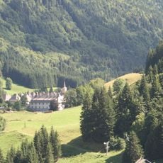
Tête des Bécus, Summit in Le Reposoir, France

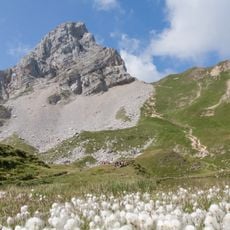
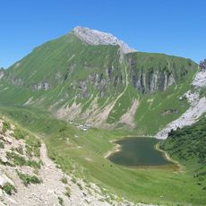
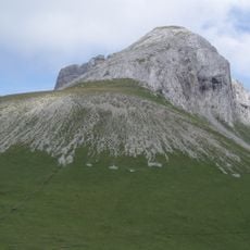
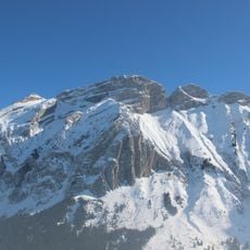
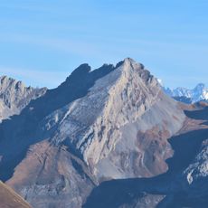
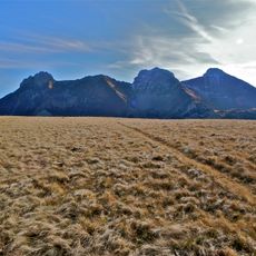
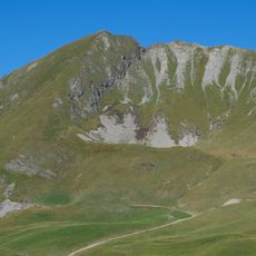
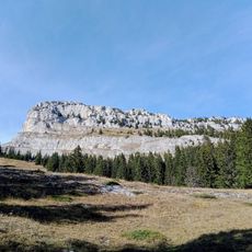
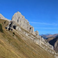
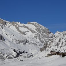
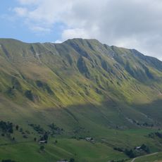
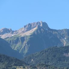
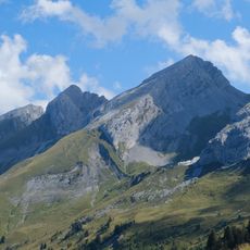
Tête des Bécus is a mountain summit near Le Reposoir that reaches about 1900 meters in elevation within the Bargy range. The peak is characterized by jagged limestone ridges and steep rock faces that dominate the landscape in this part of the French Alps.

The mountain was shaped during the Cretaceous period when limestone deposits formed the basis of this Alpine massif. Local mountaineers developed hiking routes through these peaks over centuries, creating the trail network that exists today.

Local mountaineers established traditional hiking routes around Tête des Bécus, maintaining the mountain paths for future generations to explore.

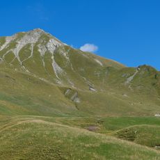
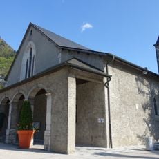
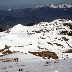
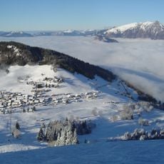
Visitors typically start from Le Reposoir village and follow marked trails that lead into the Bargy range toward the summit. The walk involves steep sections with rocky terrain, so sturdy footwear and reasonable fitness are needed to reach the top.

The rocky slopes around this summit contain fossils from an ancient seabed, reminding visitors that these mountains were once covered by water. Finding these traces of marine life while hiking makes clear how much the landscape has changed over geological time.

The community of curious travelers

AroundUs brings together thousands of curated places, local tips, and hidden gems, enriched daily by 60,000 contributors worldwide.

Start exploring
Location
Elevation above the sea
1,907 m
GPS coordinates
46.02695,6.52283
Latest update
December 14, 2025 20:23
Reviews
Share your experience

No review yet

Discussions
Start a discussion...

No discussion yet

« Tête des Bécus - Summit in Le Reposoir, France » is provided by Around Us (aroundus.com). Images and texts are derived from Wikimedia project under a Creative Commons license. You are allowed to copy, distribute, and modify copies of this page, under the conditions set by the license, as long as this note is clearly visible.

Discover hidden gems everywhere you go!

From secret cafés to breathtaking viewpoints, skip the crowded tourist spots and find places that match your style. Our app makes it easy with voice search, smart filtering, route optimization, and insider tips from travelers worldwide. Download now for the complete mobile experience.

Around Us App Screenshot

A unique approach to discovering new places

Le Figaro

All the places worth exploring

France Info

A tailor-made excursion in just a few clicks

20 Minutes

Around Us
Travel Guide & Maps
Download

Send to your phone

QR Code
1

Open the camera app on your mobile.

2

Point at the QR code with your camera. A notification will appear.

3

Tap the notification to open the link.