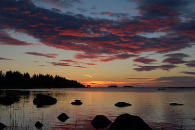
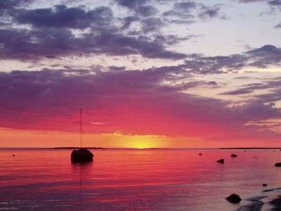
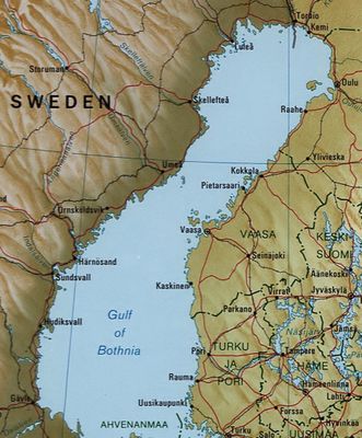
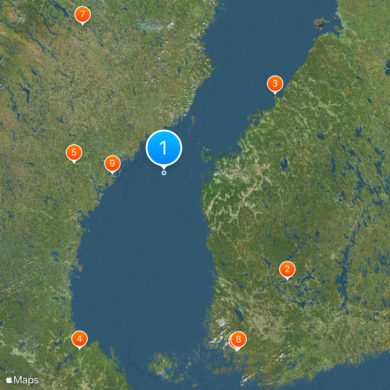
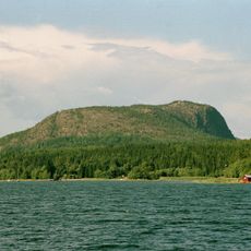
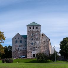
Gulf of Bothnia, Northern arm of Baltic Sea between Finland and Sweden.
The Gulf of Bothnia is an arm of the Baltic Sea that stretches between Finland and Sweden and spans over 700 kilometers. Its western and central areas reach depths of just under 300 meters.
Medieval cartographers ignored this northern sea region until 1482, when Nicolaus Germanus first drew it on his maps. For centuries, fishermen and sailors lived along its shores although the area did not appear on maps for a long time.
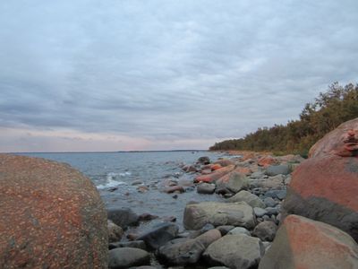
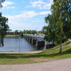
Maritime culture along the coast is shaped by the water and locals know ice conditions well. Fishermen and boatbuilders still work with their ancestors' traditions and use wood to build their vessels.
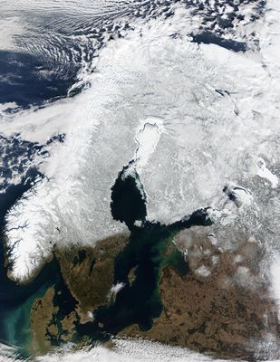
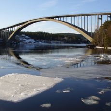
Navigation requires icebreaker support in winter as the water freezes for about five months each year. From January to April, passage is only possible with special help.
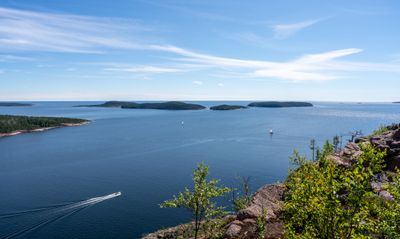
Numerous small islands are scattered across the gulf and several rivers flow into the sea here. This combination creates an extremely low salt content in the water, which is unusual for a sea area.
The community of curious travelers
AroundUs brings together thousands of curated places, local tips, and hidden gems, enriched daily by 60,000 contributors worldwide.