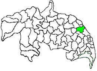
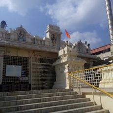
Duggirala mandal, Administrative division in Guntur district, India
Duggirala mandal is an administrative region in Guntur district that spans several villages connected by the Krishna River. The area sits at about 16 meters in elevation and contains scattered rural settlements surrounded by farmland.
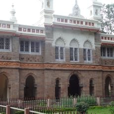
The region developed under different administrative systems over time, evolving from traditional village governance to its current status as a mandal within Andhra Pradesh. The boundaries and structure reflect how local governance was reorganized following independence and modern administrative reforms.
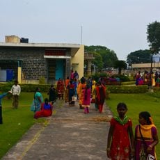
Agricultural traditions dominate daily life here, with rice and groundnut farming organized around monsoon seasons and local water sources. Village gatherings during harvest festivals reflect how residents maintain ties to the land and each other throughout the year.
Several schools in the region serve about 7,500 students with primary and secondary education, while basic services support the scattered communities. Transportation between villages or to larger towns takes time, so visitors should plan accordingly and expect to rely on local transport or personal arrangements.
The local population shows a notably balanced gender ratio that slightly favors females compared to the national average. This demographic pattern is worth noting as it reflects distinctive settlement and population dynamics in the area.
The community of curious travelers
AroundUs brings together thousands of curated places, local tips, and hidden gems, enriched daily by 60,000 contributors worldwide.