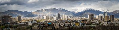
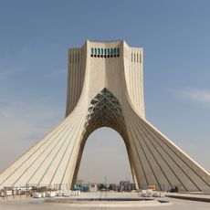
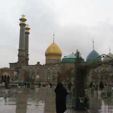
Tehran, Capital city in northern Iran
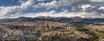
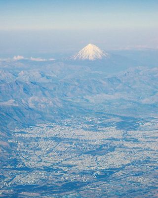
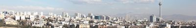
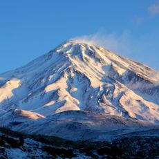
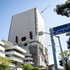
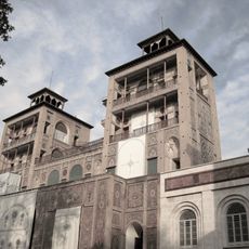
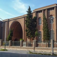
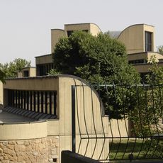
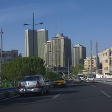
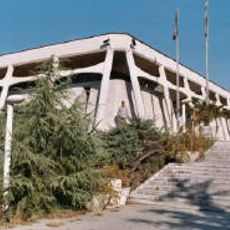
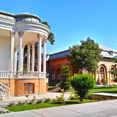
This capital spreads along the southern slope of the Alborz range between 1000 and 1700 meters elevation, not far from the Dasht-e Kavir desert. Modern districts with high-rise buildings stand beside older neighborhoods with narrow lanes and flat-roofed brick houses.
The settlement gained importance after Mongol forces destroyed the old city of Rey in 1220. It became the national capital in 1786 under Agha Mohammad Khan and grew rapidly afterward.
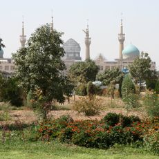
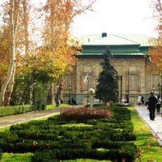
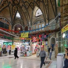
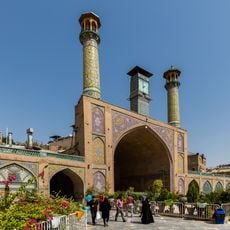
Local bazaars follow old trading customs where shopkeepers chat with customers and invite them to share tea while browsing. Public parks fill each evening with families who picnic on carpets or sit on benches and talk.
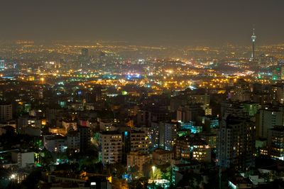
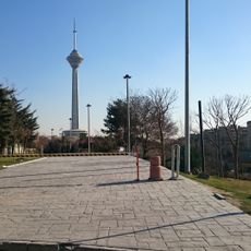
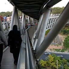
The city has several metro lines, rapid bus connections, and two airports for domestic and international travelers. Traffic becomes heavy during daytime, especially at rush hours in the morning and evening.
The northern districts at higher elevations receive more rain and stay cooler than the southern areas of the metropolis. On clear days the snow-capped peaks of Alborz remain visible from many streets.
The community of curious travelers
AroundUs brings together thousands of curated places, local tips, and hidden gems, enriched daily by 60,000 contributors worldwide.