Isiolo County, Administrative county in northern Kenya
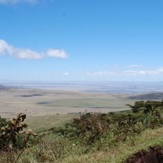
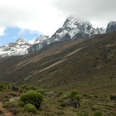
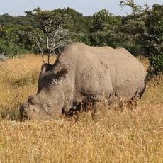
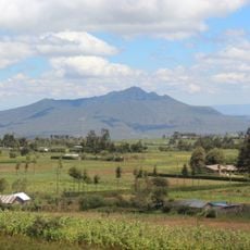
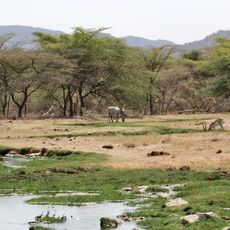
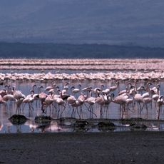
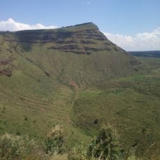
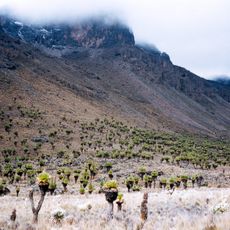
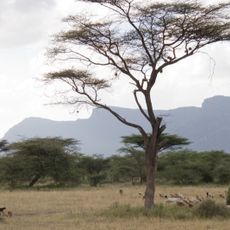
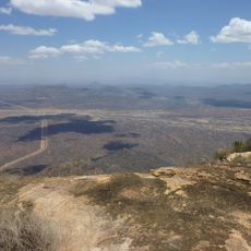
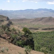
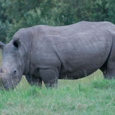
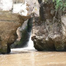
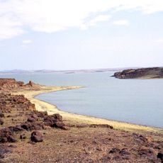
Isiolo County is an administrative division in northern Kenya covering arid plains that the Ewaso Nyiro River runs through. The area borders six neighboring counties and includes several game reserves and trading settlements.
Colonial administrators designated this area as a headquarters for the Northern Frontier Districts starting in 1922. This role continued until Kenya gained independence in 1963, shaping its administrative importance.
Multiple ethnic communities—Borana, Turkana, Samburu, Somali, and Meru—call this region home and shape daily life through their traditions. Islam holds a central place in local customs and practices across settlements.
A network of roads connects different parts of the county, using various surfaces from earth and gravel to paved sections. Road conditions can change with the season, so it helps to check local information before planning a trip.
A sporting event in 2022 brought together athletes with disabilities from across the region. This occasion showed the area's commitment to inclusive participation and community spirit.
Location: Kenya
Inception: March 4, 2013
Website: http://isiolocounty.go.ke
GPS coordinates: 0.88333,38.66670
Latest update: December 7, 2025 19:26
Great Rift Valley
306 km
Mount Kenya
190.1 km
Kenya Lake System in the Great Rift Valley
274.5 km
Ol Pejeta Conservancy
210 km
Mount Longonot
317.1 km
Buffalo Springs National Reserve
124.4 km
Lake Bogoria
294.3 km
Aberdare National Park
260.3 km
Lord Egerton Castle
326.5 km
Menengai
313.3 km
Lewa Wildlife Conservancy
158.6 km
Mount Kenya National Park
185.7 km
Baden-Powell grave
239.8 km
Shaba National Reserve
96.3 km
Thomson's Falls
272.1 km
Meru National Park
120.1 km
Masinga Dam
230.1 km
Kora National Park
121.8 km
Mount Marsabit
178 km
Marsabit National Park
183.5 km
Lake Nakuru National Park
319.5 km
Hyrax Hill Prehistoric Site and Museum
313.1 km
Ol Doinyo Eburru
323.6 km
Kigio Wildlife Conservancy
300.2 km
Namarunu
277.2 km
Mau-Mau Cave
231.6 km
South Island
301.1 km
Kapthurin
302.1 kmVisited this place? Tap the stars to rate it and share your experience / photos with the community! Try now! You can cancel it anytime.
Discover hidden gems everywhere you go!
From secret cafés to breathtaking viewpoints, skip the crowded tourist spots and find places that match your style. Our app makes it easy with voice search, smart filtering, route optimization, and insider tips from travelers worldwide. Download now for the complete mobile experience.
A unique approach to discovering new places❞
— Le Figaro
All the places worth exploring❞
— France Info
A tailor-made excursion in just a few clicks❞
— 20 Minutes