Enable Location

We need your location to show you interesting places around you

Discover nearby places

Find interesting locations and hidden gems around you

Precise directions

Get accurate directions and distances to places

Your location is never shared with other users. It's only used when you tap the location button.

Chitral District

Log in to your account

Start exploring — it's free

Trusted by 62,839 travelers worldwide

Continue with Google
Continue with Apple
or

We will send you a code to connect

By continuing, you accept our Terms and Conditions and our Privacy Policy

Check your inbox

We've sent a pincode in your inbox. Please enter the code below.

Chitral District, Former administrative district in Malakand Division, Pakistan.

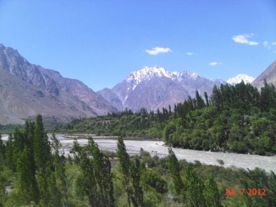
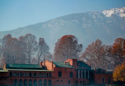
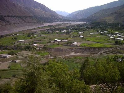
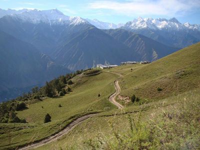
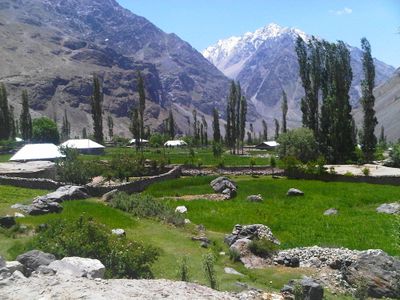
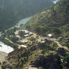
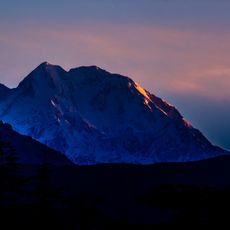
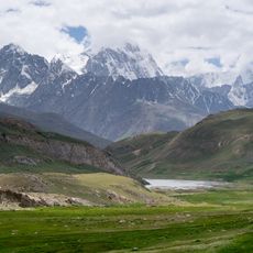
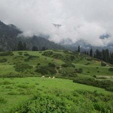
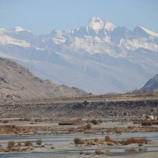
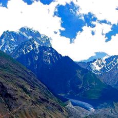
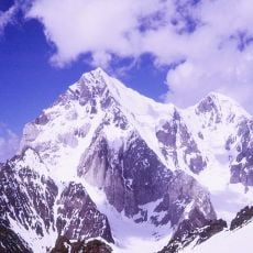
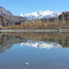
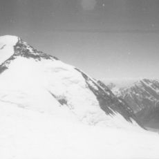
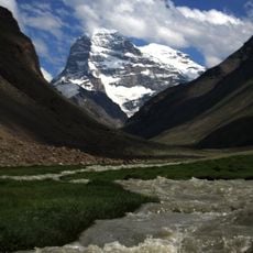
Chitral District is a mountainous territory in the Malakand Division characterized by steep slopes and high-altitude terrain. The region stretches across the Hindu Kush range with multiple valleys at varying elevations.

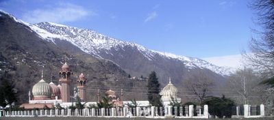
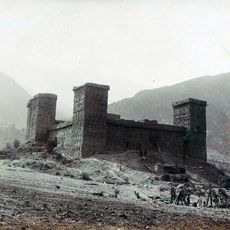
The area functioned as an independent kingdom until coming under British control in 1895 while maintaining semi-autonomous status. It became part of Pakistan following independence in 1947.

The Kho-speaking people shape daily life through local crafts and customs passed down over generations. The Kalash community in remote valleys to the southwest maintains distinct practices that differ from surrounding areas.

The Lowari Tunnel opened in 2017 and provides year-round passage through the mountains to reach the area. This has significantly improved access, especially during winter months when mountain passes were previously closed.

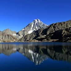
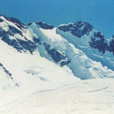
Much of the land consists of mountains and glaciers that dominate the landscape, making it one of Pakistan's most remote and challenging regions to traverse. This extreme terrain shapes every aspect of life and movement through the territory.

The community of curious travelers

AroundUs brings together thousands of curated places, local tips, and hidden gems, enriched daily by 60,000 contributors worldwide.

Start exploring
Inception
1970
Capital city
Chitral valley
Shares border with
Wakhan
GPS coordinates
36.25000,72.25000
Latest update
December 14, 2025 19:28
« Chitral District - Former administrative district in Malakand Division, Pakistan » is provided by Around Us (aroundus.com). Images and texts are derived from Wikimedia project under a Creative Commons license. You are allowed to copy, distribute, and modify copies of this page, under the conditions set by the license, as long as this note is clearly visible.

Discover hidden gems everywhere you go!

From secret cafés to breathtaking viewpoints, skip the crowded tourist spots and find places that match your style. Our app makes it easy with voice search, smart filtering, route optimization, and insider tips from travelers worldwide. Download now for the complete mobile experience.

Around Us App Screenshot

A unique approach to discovering new places

Le Figaro

All the places worth exploring

France Info

A tailor-made excursion in just a few clicks

20 Minutes

Around Us
Travel Guide & Maps
Download

Send to your phone

QR Code
1

Open the camera app on your mobile.

2

Point at the QR code with your camera. A notification will appear.

3

Tap the notification to open the link.