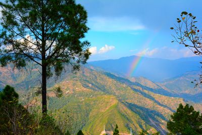
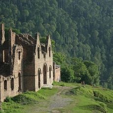
Kotli Sattian Tehsil, Administrative division in Murree District, Pakistan.
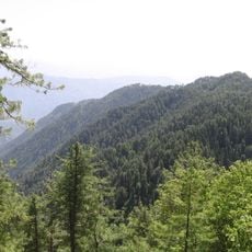
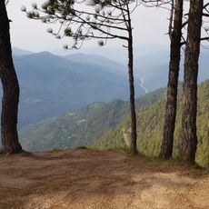
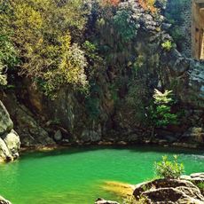
Kotli Sattian Tehsil is an administrative subdivision in Murree District that spreads across the Pir Panjal Range. The territory comprises multiple villages and is shaped by geographic features including river courses.
The administrative area was established in 1990 when 40 villages were separated from neighboring territories. This administrative restructuring created a new governance level in Punjab Province.
The population consists of several tribal communities, with the Satti tribe forming the largest group. Janjuas, Dhaniyals, Kethwals, and Dhond Abbasis also live here and shape the social fabric of the region.
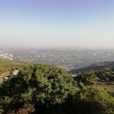
The administrative center operates under Murree District Council and manages local governance for the area. Visitors should note that the terrain is mountainous and travel routes reflect these conditions.
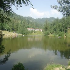
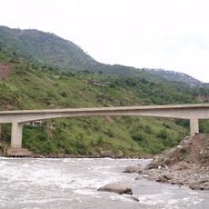
The Jehlum River forms natural boundaries between several settlements within the tehsil and Kashmir. This water-based demarcation creates a distinctive geographic situation affecting Mallot Sattian, Badnian, Begal, Thoon, and Chijana.
The community of curious travelers
AroundUs brings together thousands of curated places, local tips, and hidden gems, enriched daily by 60,000 contributors worldwide.