
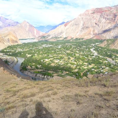
Buni, town in Khyber Pakhtunkhwa, Pakistan
Location: Mastuj Tehsil
Elevation above the sea: 1,880 m
GPS coordinates: 36.27278,72.25972
Latest update: March 26, 2025 14:07
Combat Outpost Keating
126.5 km
Terich Mir
36.8 km
Noshaq
42.4 km
Chitral Gol National Park
65.4 km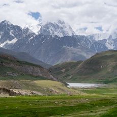
Broghil Valley National Park
101.6 km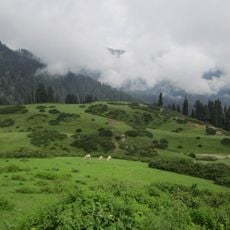
Gabin Jabba
123.5 km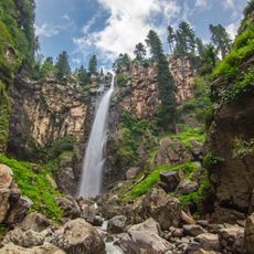
Jarogo Waterfall
130.4 km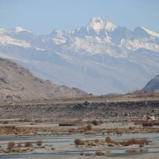
Karl Marx Peak
100.8 km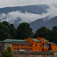
Chitral Fort
62.8 km
Istor-o-Nal
34.5 km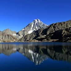
Falak Sar
81 km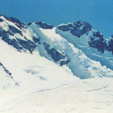
Saraghrar
33.2 km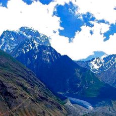
Koyo Zom
101.4 km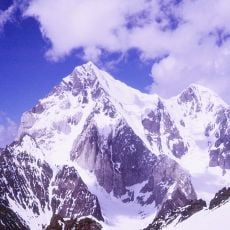
Buni Zom
14.5 km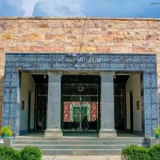
Swat Museum
168.3 km
Shahi Mosque
62.8 km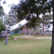
Fizagat Recreation Park
165.1 km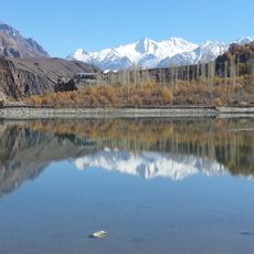
Khalti Lake
99 km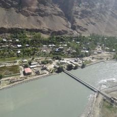
Tajik–Afghan bridge at Tem-Demogan
154.6 km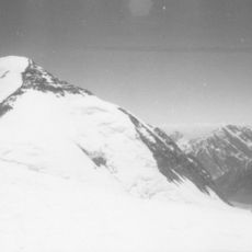
Udren Zom
38.2 km
Kalasha Dur Museum
82.5 km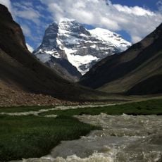
Engels Peak
102.7 km
Chitral Museum
63.7 km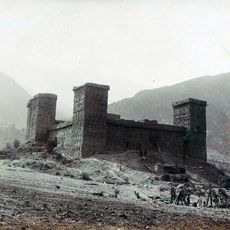
Mastuj Fort
23.8 km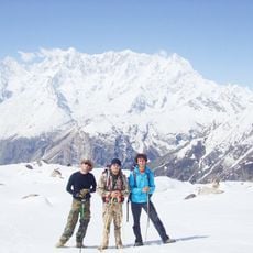
Ghamubar Zom
103.2 km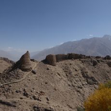
Yamchun Fort
77.6 km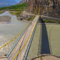
Kanchey Bridge
140.1 km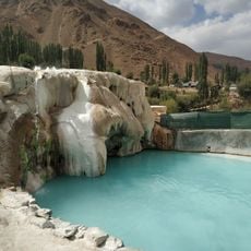
Garam Chashma Hot Spring
122 kmReviews
Visited this place? Tap the stars to rate it and share your experience / photos with the community! Try now! You can cancel it anytime.
Discover hidden gems everywhere you go!
From secret cafés to breathtaking viewpoints, skip the crowded tourist spots and find places that match your style. Our app makes it easy with voice search, smart filtering, route optimization, and insider tips from travelers worldwide. Download now for the complete mobile experience.

A unique approach to discovering new places❞
— Le Figaro
All the places worth exploring❞
— France Info
A tailor-made excursion in just a few clicks❞
— 20 Minutes