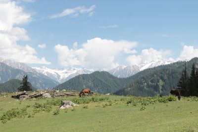
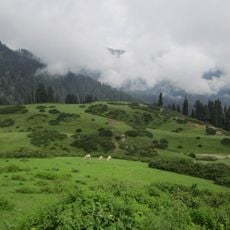
Jahaz Banda, Meadow in Kumrat Valley, Pakistan.
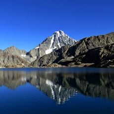
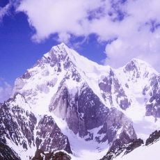
Jahaz Banda is a high-altitude meadow situated at 3,100 meters elevation in a remote valley surrounded by snow-capped peaks and thick forest. The terrain slopes gently and opens toward distant mountain views on clear days.
This meadow has long been used as a grazing ground by local herders who brought their flocks to the high valley. The pattern of seasonal pasture use reflects centuries of pastoral traditions in the region's mountain areas.
Shepherds have used this meadow as their grazing land for generations, shaping how the landscape looks and feels today. Their presence with herds and simple shelters gives visitors a sense of rural life that continues much as it always has.
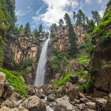
This location is accessible only on foot, so visitors should prepare for a hike of several hours. Sturdy footwear and appropriate mountain clothing are necessary, as conditions can change quickly at this elevation.
The meadow's name "Jahaz" means "ship" in the local dialect, an unusual name for a mountain pasture. Local accounts suggest the name came from the shape of the terrain or a story passed down by travelers.
The community of curious travelers
AroundUs brings together thousands of curated places, local tips, and hidden gems, enriched daily by 60,000 contributors worldwide.