Hijaz mountains, Mountain range in western Saudi Arabia
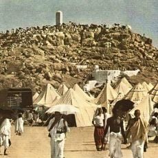
The Hijaz Mountains form a north–south range along the eastern side of the Red Sea, built largely of Precambrian igneous and metamorphic rock such as granite, basalt, gneiss and schist, with volcanic lava fields covering parts of the surface. The range is 1,700 km long, from the Gulf of Aqaba to the Yemen border, and 40 to 240 km wide. It drops steeply west toward the Tihamah plain and more gradually east toward Najd, and its highest peak, Jabal al-Sawda near Abha, reaches 3,678 m.
The range was mined for gold and silver in ancient times, particularly around Mahd adh-Dhahab, where extraction continued for over 2,000 years. This mountainous area also held strategic importance for early trade routes connecting different civilizations.
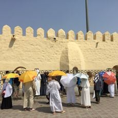
For thousands of years, this range has served as a crucial passage for pilgrims and trade caravans moving between regions and toward sacred destinations. The terrain has shaped how local communities settle and practice their traditions.
The range is divided into different sections, and visitors should check on local routes and accessibility since conditions vary significantly between areas. The best time to explore is during cooler months, when hiking and walking are more comfortable.
The range has been proposed as the source of the Pishon, one of the four rivers of Eden. Farouk El-Baz of Boston University traced its dry course along Wadi al-Rummah and Wadi al-Batin, a 970 km path across the Saudi desert to the Persian Gulf that he called the Kuwait River.
The community of curious travelers
AroundUs brings together thousands of curated places, local tips, and hidden gems, enriched daily by 93,755 contributors worldwide.