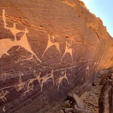
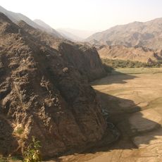
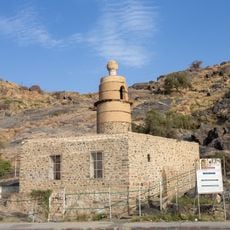
Hali, Valley system in Mecca Province, Saudi Arabia
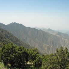
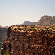
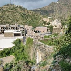
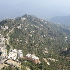
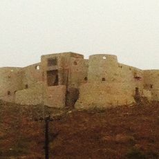
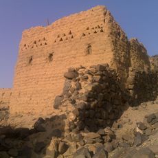
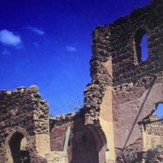
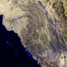
Wadi Hali is a dry valley system that cuts through the desert landscape of Mecca Province, characterized by channels carved by occasional water flows. The terrain shows the typical features of such wadis, with eroded banks and sandy beds that fill with water during rare rainy seasons.
The valley formed over centuries through erosion during periodic rainfalls that carved water channels through the desert landscape. Modern mapping projects documented the area in the 1980s, providing the first detailed records of its geographical features and extent.
The name Wadi Hali reflects the Arabic terminology for valleys that transform into active water channels during seasonal rainfall periods.
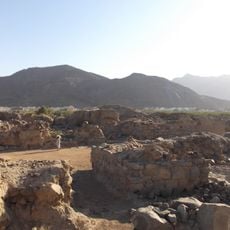
The site is best visited during cooler months when desert heat is less intense and travel is more comfortable. The location is relatively remote, so proper planning and local guidance before visiting are highly recommended.
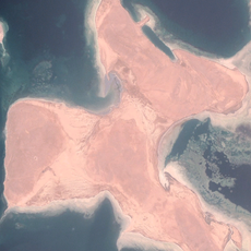
The creation of Wadi Hali Lake at 81.57 meters altitude has transformed this desert valley into a water resource for the local environment.
The community of curious travelers
AroundUs brings together thousands of curated places, local tips, and hidden gems, enriched daily by 60,000 contributors worldwide.