Årstaviken, Bay in Stockholm Municipality, Sweden
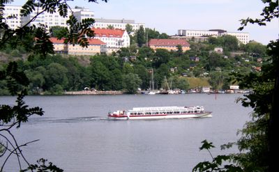
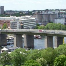
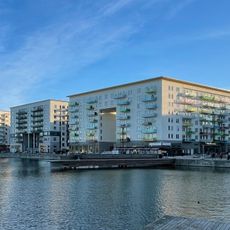
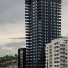
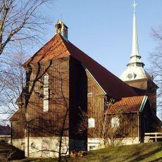
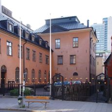
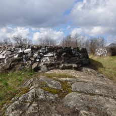
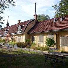
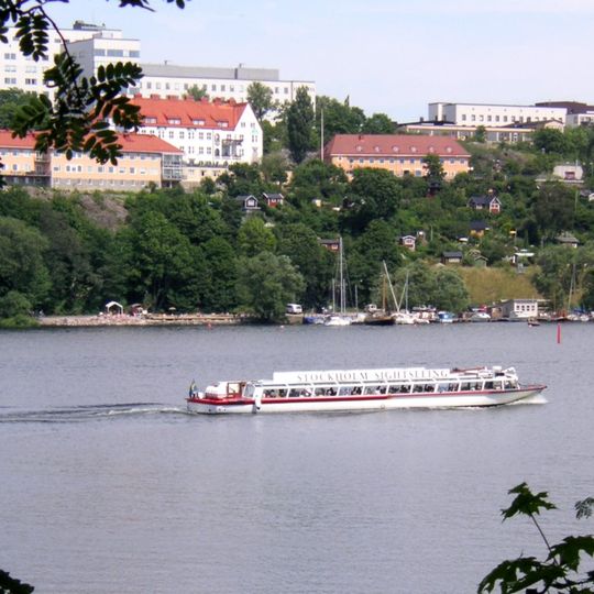
Årstaviken is a wide bay that lies on the southern edge of central Stockholm, bordered by Södermalm to the north and Årsta and Johanneshov to the south. The water stretches between the Liljeholms bridge to the west and the Hammarby floodgate to the east, with gently sloping hills and small rocky outcrops along its shores.
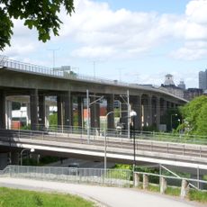
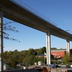
This bay has long been part of the water routes around Stockholm, used over time for swimming, rowing, and moving small boats. Its role as a natural opening of Lake Mälaren toward the city meant that bridges and floodgates later reshaped how people crossed and connected the surrounding districts.
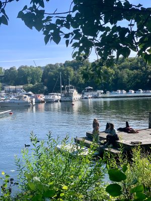
Along the trail you can see people doing morning walks, evening jogs, and sunny weekend picnics near the water. Outdoor gyms and small spots for sitting along the shore have made this a common place for casual exercise and rest in the open air.
A walking path follows the shoreline, offering easy access for families, joggers, and cyclists. You can reach the water on foot from many parts of Södermalm or by taking a bus toward Årsta.
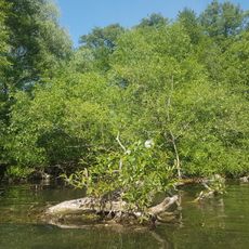
The bay belongs to the eastern reach of Lake Mälaren, so its water level rises and falls with the lake rather than the open sea. Small boats and kayaks can glide along its calm surface, and the Hammarby floodgate at one end quietly controls how much water passes through.
The community of curious travelers
AroundUs brings together thousands of curated places, local tips, and hidden gems, enriched daily by 91,478 contributors worldwide.