·

Enable Location

We need your location to show you interesting places around you

Discover nearby places

Find interesting locations and hidden gems around you

Precise directions

Get accurate directions and distances to places

Your location is never shared with other users. It's only used when you tap the location button.

Municipality of Kranjska Gora

Log in to your account

Start exploring — it's free

Trusted by 62,673 travelers worldwide

Continue with Google
Continue with Apple
or

We will send you a code to connect

By continuing, you accept our Terms and Conditions and our Privacy Policy

Check your inbox

We've sent a pincode in your inbox. Please enter the code below.

Municipality of Kranjska Gora, Administrative municipality in Julian Alps, Slovenia.

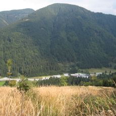
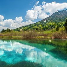
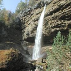
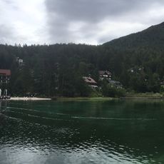
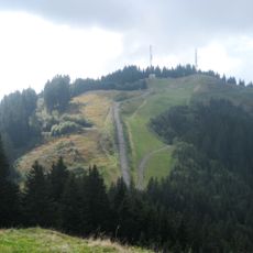
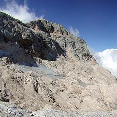
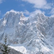
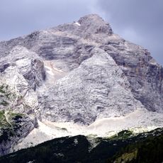
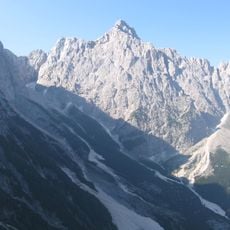
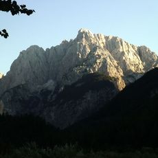
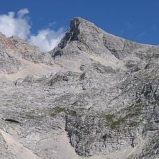
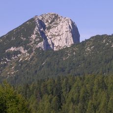
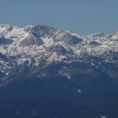
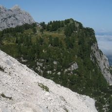
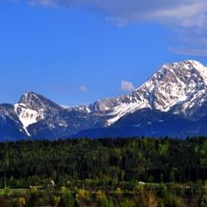
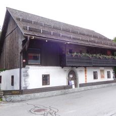
Kranjska Gora is a municipality spanning several villages and hamlets in the Julian Alps, with the Sava Dolinka River flowing through its valleys. The landscape features steep slopes, dense forests, and open meadows that shift character with the seasons.

The area first appeared in written records in 1326 under various names including Chrainow and Cranaw. Over centuries, it evolved from a sparsely settled mountain region into a more established community with improved infrastructure.

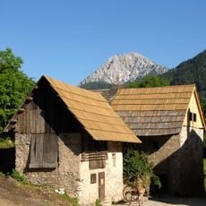
The area maintains strong alpine traditions through local crafts like wood carving and traditional clothing worn at community celebrations. These practices remain part of everyday life rather than being relegated to museums or tourist displays.

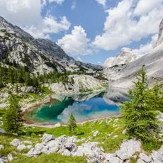
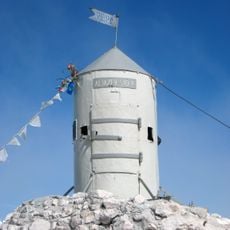
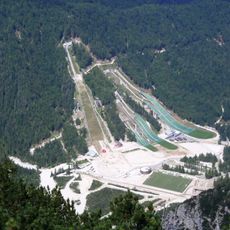
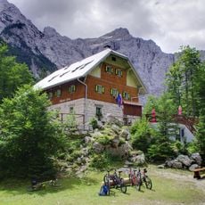
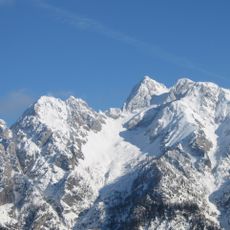
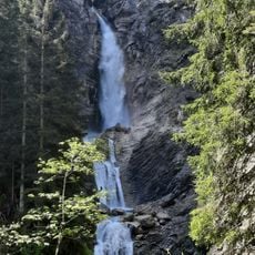
Winter brings ski lifts on Mount Vitranc, while summer offers numerous hiking and mountain biking routes throughout the valleys. Good footwear and weatherproof clothing are essential since mountain conditions can change rapidly.

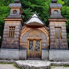
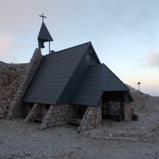
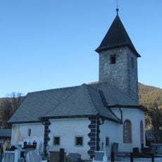
A wooden chapel built above the municipality by Russian prisoners of war during World War I commemorates comrades lost in an avalanche. This structure survives today as a reminder of when the region was touched by larger historical events.

The community of curious travelers

AroundUs brings together thousands of curated places, local tips, and hidden gems, enriched daily by 60,000 contributors worldwide.

Start exploring
Capital city
Kranjska Gora
Elevation above the sea
1,283 m
Reference
53
Shares border with
Tarvisio, Municipality of Bovec, Bohinj Municipality, Municipality of Gorje, Municipality of Jesenice
GPS coordinates
46.48333,13.78333
Latest update
December 20, 2025 11:46
« Municipality of Kranjska Gora - Administrative municipality in Julian Alps, Slovenia » is provided by Around Us (aroundus.com). Images and texts are derived from Wikimedia project under a Creative Commons license. You are allowed to copy, distribute, and modify copies of this page, under the conditions set by the license, as long as this note is clearly visible.

Discover hidden gems everywhere you go!

From secret cafés to breathtaking viewpoints, skip the crowded tourist spots and find places that match your style. Our app makes it easy with voice search, smart filtering, route optimization, and insider tips from travelers worldwide. Download now for the complete mobile experience.

Around Us App Screenshot

A unique approach to discovering new places

Le Figaro

All the places worth exploring

France Info

A tailor-made excursion in just a few clicks

20 Minutes

Around Us
Travel Guide & Maps
Download

Send to your phone

QR Code
1

Open the camera app on your mobile.

2

Point at the QR code with your camera. A notification will appear.

3

Tap the notification to open the link.