Slovak Karst, Limestone mountain range in Eastern Slovakia.
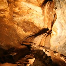
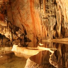
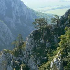
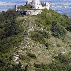
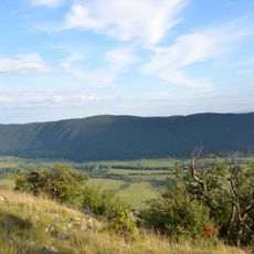
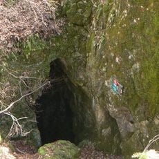
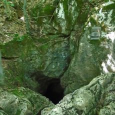
The Slovak Karst is a range of limestone and dolomite plateaus in the Slovenské Rudohorie mountains of southern Slovakia, divided into nine parts from Jelšavský kras in the west to Jasovská planina in the east. Its highest peak is Jelení vrch at 947 m. The plateaus carry karst pits up to 250 m across and about 45 m deep, conical hills and blind valleys, and around 1,300 caves lie beneath them.
Slovak Karst was declared a protected landscape area in 1973. In 1977 it became Slovakia's first site in UNESCO's Man and the Biosphere network. Slovak Karst National Park was established on 1 March 2002, and part of the range forms the UNESCO World Heritage Site Caves of Aggtelek Karst and Slovak Karst.
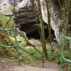
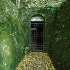
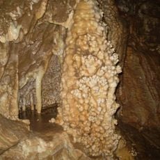
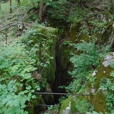
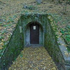
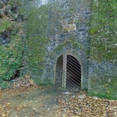
The name kras refers to the limestone plateaus shared with Hungary's Aggtelek Karst, and the two parks form one continuous karst area, the largest of its plateau type in Central Europe. Five caves are open to visitors: Domica, Gombasecká, Jasovská, Krásnohorská and Ochtinská aragonitová. The Silická ľadnica is a collapsed abyss, 110 m deep.
Visitors should wear sturdy footwear and bring navigation aids since trails cross demanding terrain. It is wise to research conditions beforehand and avoid exploring remote areas alone.
The Silická ľadnica is a collapsed abyss 110 m deep where cold air pools and ice persists, unlike the surrounding plateaus. Among the vertical shafts, Čertova diera (Devil's Hole) reaches 186 m and Brázda 181 m. The largest karst lake is Jašteričie jazero, Lizard Lake.
The community of curious travelers
AroundUs brings together thousands of curated places, local tips, and hidden gems, enriched daily by 94,712 contributors worldwide.