Orava, Historical territory between northern Slovakia and southern Poland.
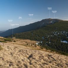
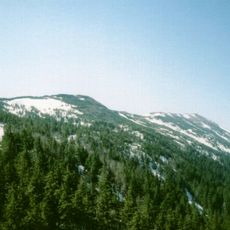
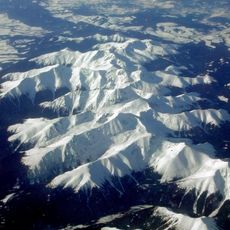
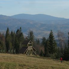
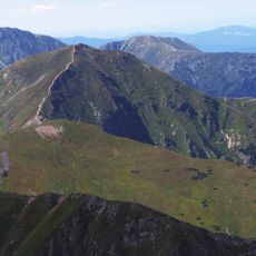
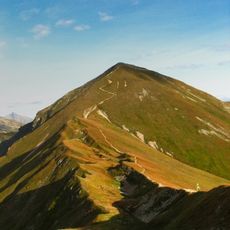
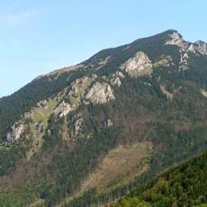
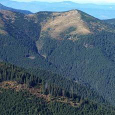
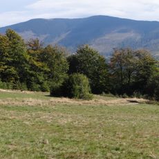
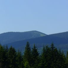
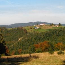
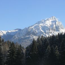
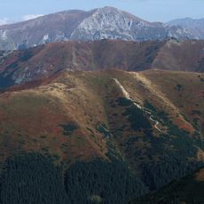
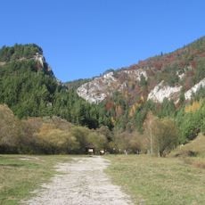
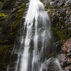
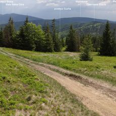
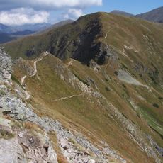
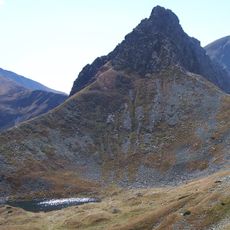
Orava is a territory in northern Slovakia that extends along the Orava River from Zázrivá toward the Tatra Mountains, characterized by forests and mountain landscapes. The region features diverse topography including river valleys, hills, and higher elevations that define its appearance.
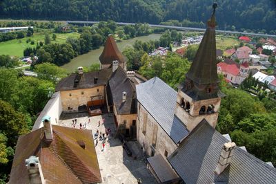
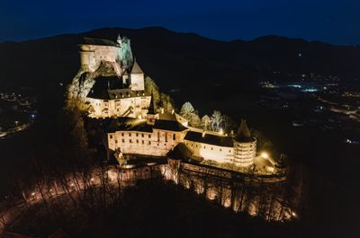
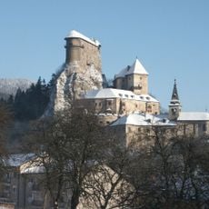
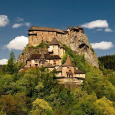
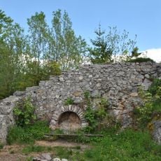
The county of Orava formed before the 15th century as an administrative and military unit in the region. Orava Castle became its administrative center and remained a key point for controlling the territory.
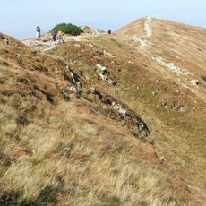
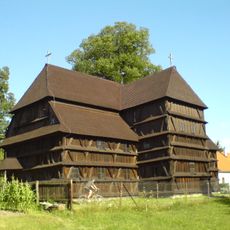
The northern section is part of the Goral lands, where inhabitants maintain traditional customs and a distinct regional identity that shapes daily life. These practices influence how the communities look and interact with their surroundings.
The territory divides administratively among three Slovak districts: Dolný Kubín, Tvrdošín, and Námestovo, all within Žilina Region. This means practical access and services vary depending on which part of the area you visit.
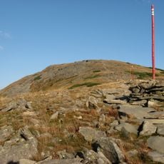
Oravská Polhora at the far north marks technically the northernmost point of Slovakia. This geographic extreme point is often overlooked, yet it clearly demonstrates the area's border location.
The community of curious travelers
AroundUs brings together thousands of curated places, local tips, and hidden gems, enriched daily by 60,000 contributors worldwide.