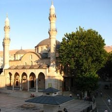
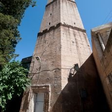
Kâhta, Municipal administrative center in Adıyaman Province, Turkey
Kâhta is a municipal administrative center in Adıyaman Province and is divided into several neighborhoods including Atatürk, Bağlar, and Bayraktar. The city functions as a regional hub with public services and forms the economic and administrative framework for the surrounding area.
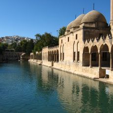
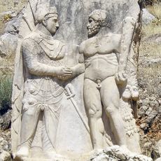
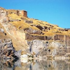
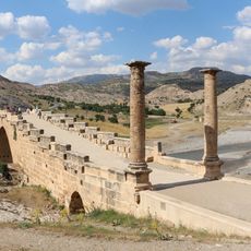
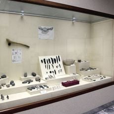
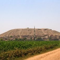
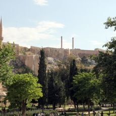
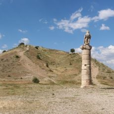
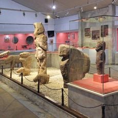
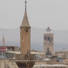
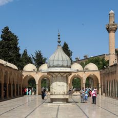
The region around Kâhta has been inhabited and controlled by multiple civilizations including the Hittites, Romans, Byzantines, and the Ottoman Empire. This long history made the area an important crossing point between different periods and powers.
The local community is predominantly Kurdish, belonging to the Reşwan tribe, and maintains strong ties to farming and pastoral traditions that shape daily life. These customs are visible in how people use the land and organize their settlements.
The city provides basic services and facilities for visitors and residents, including fuel stations and transportation options. The best time to explore the area is during spring or fall when the climate is milder and outdoor activities in the surrounding region are more comfortable.
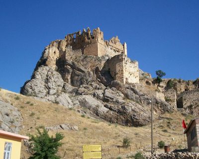
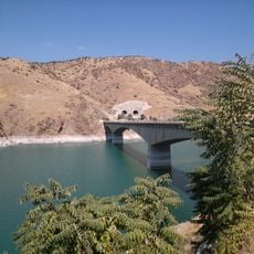
The city sits at the foot of Mount Nemrut, whose summit holds ancient tombs from the 1st century BC kingdom of Commagene. This proximity makes it the natural starting point for travelers seeking to explore these archaeological remains.
The community of curious travelers
AroundUs brings together thousands of curated places, local tips, and hidden gems, enriched daily by 60,000 contributors worldwide.