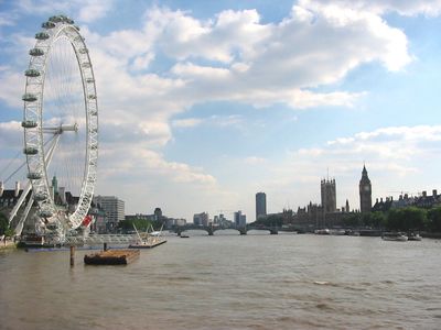
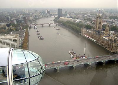
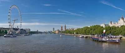
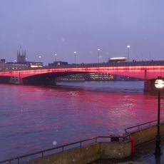
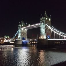
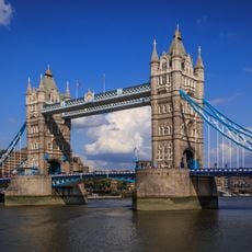
River Thames, River in southern England
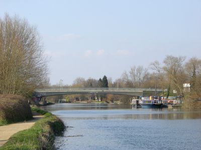
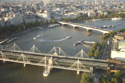
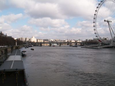
This river runs approximately 215 miles (350 kilometers) from the Cotswolds through several counties to the North Sea near the Thames Estuary. The course crosses rural valleys, market towns and urban areas with bridges, weirs and locks dividing the stretch from source to sea.
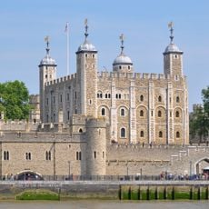
Celtic settlers used this river for trade and transport before Romans expanded its role as a main navigation route during their occupation. In medieval times, the waterway connected ports and enabled London to rise as a trading hub for European and global commerce.
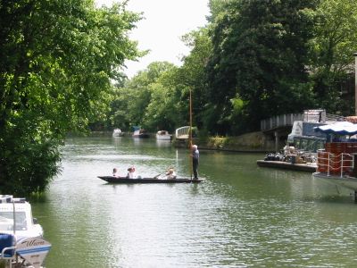
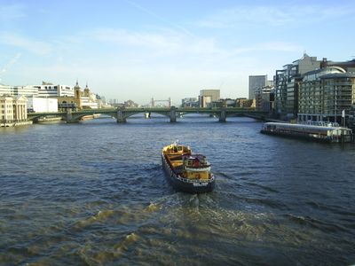
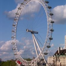
Rowers and dragon boat crews train regularly on the water, while walkers use the riverside paths that wind through parks and neighborhoods. On summer weekends, people gather at landing stages and on grass to picnic and watch ferries or pleasure boats pass by.
Lock keepers operate the installations along the route and allow boats to pass, while footpaths follow both banks from source to London. Access to the riverside paths is available at bridges, within settlements and at public landing stages throughout.
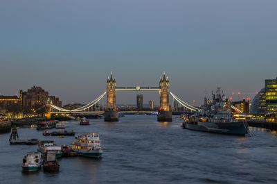
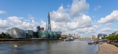
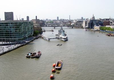
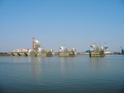
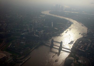
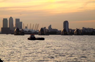
Between Teddington Lock and the sea, tidal movements reverse the flow twice daily and cause water levels to swing dramatically. This affects how vessels navigate and how landing stages function throughout the tidal cycle.
The community of curious travelers
AroundUs brings together thousands of curated places, local tips, and hidden gems, enriched daily by 60,000 contributors worldwide.