North East England, Administrative region in northeast England.
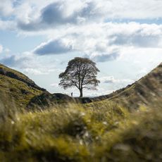
North East England is an administrative territory in the northeastern part of England, covering Northumberland, County Durham, and Tyne and Wear. The landscape is shaped by a long coastline, wooded valleys, and moorland areas inland, with historic settlements alternating between rural countryside and urban centers.
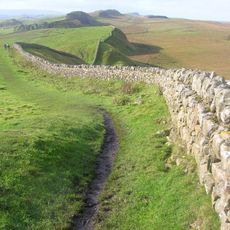
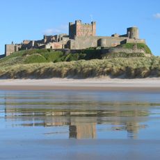
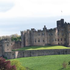
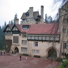
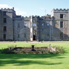
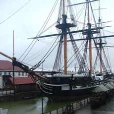
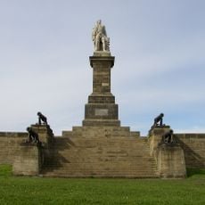
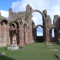
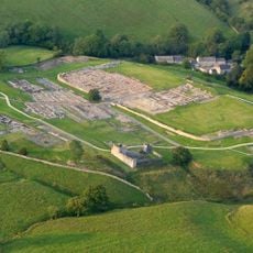
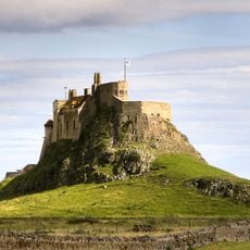
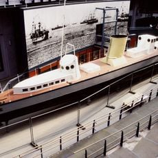
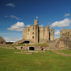
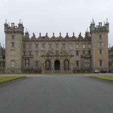
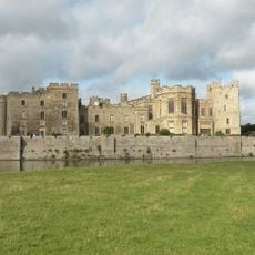
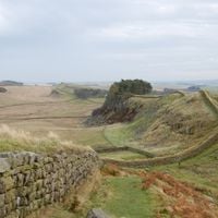
The territory was a frequent battlefield between England and Scotland during medieval times, leading to the construction of many castles and fortified settlements. In the 19th century, the area developed into a center of heavy industry with extensive shipyards along the Tyne and Wear rivers.
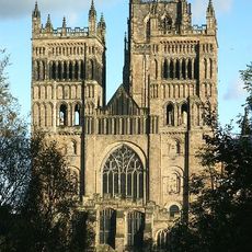
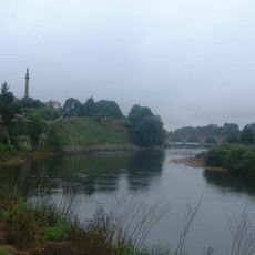
The name Durham comes from the Old English word for hill and refers to the cathedral's position above the River Wear. Local traditions such as coal mining heritage still shape many communities, where old collieries have been turned into museums and cultural centers.
Buses and regional trains connect the larger towns, while walking trails and cycling routes run through the rural areas. Coastal villages can be reached via smaller roads that often pass through hilly terrain and require careful driving in foggy conditions.
The territory hosts Kielder Forest, the largest man-made woodland in England, which was planted as a timber resource in the 1920s. Today, the area serves as an official dark sky park where constellations and the Milky Way can be observed without urban interference.
The community of curious travelers
AroundUs brings together thousands of curated places, local tips, and hidden gems, enriched daily by 60,000 contributors worldwide.