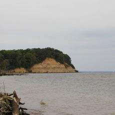
Chesapeake Bay, Estuary between Maryland and Virginia, United States
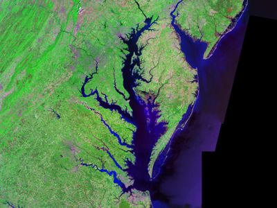
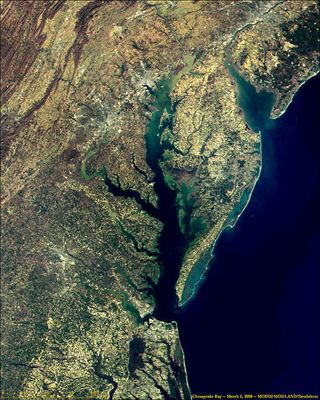
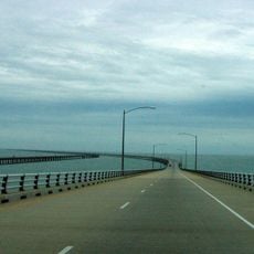
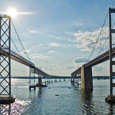
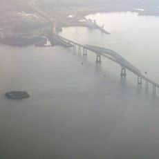
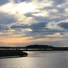
Chesapeake Bay is an estuary of brackish water between Maryland and Virginia, stretching about 200 miles (320 km) from the mouth of the Susquehanna River to the Atlantic Ocean. The bay sits behind the Delmarva Peninsula and receives water from several large rivers flowing toward the sea.
A Spanish explorer mapped the bay in 1523 and established a settlement nearby soon after. The region later became a site of colonial conflict and grew into an important trade route for early American colonies.
Fishing families along the shore continue to harvest blue crabs, oysters, and fish using methods passed down through generations. Many small waterfront towns depend on the catch and sell their products at local docks or seasonal markets.
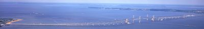
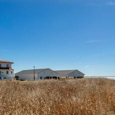
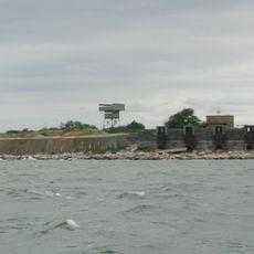
Access points along the shore offer boat launches, fishing piers, and visitor centers that explain the marine environment. The area is easiest to explore in calm weather when you can watch wildlife and enjoy the water safely.
The bay formed about 35 million years ago from a meteorite impact and is now the largest estuary in North America. The total shoreline measures more than 11,600 miles (18,700 km) when you count all the inlets and side channels.
The community of curious travelers
AroundUs brings together thousands of curated places, local tips, and hidden gems, enriched daily by 60,000 contributors worldwide.