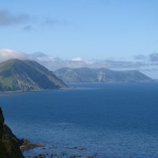
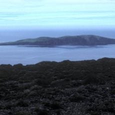
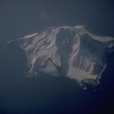
Amchitka, Volcanic island in Alaska, US
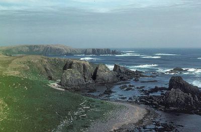
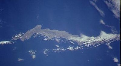
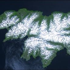
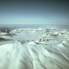
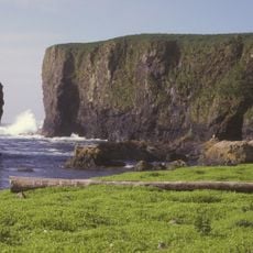
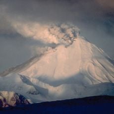
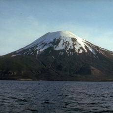
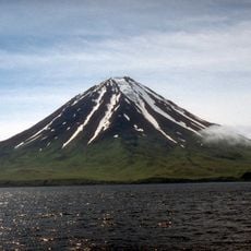
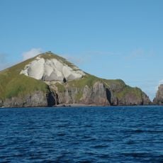
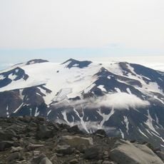
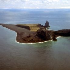
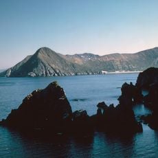
Amchitka is a volcanic island in the Aleutian chain that stretches roughly 42 miles long and varies between 1 to 4 miles wide, with highlands dominating the western section and lower terrain to the east. The landscape consists of exposed lava formations, rocky outcrops, and boggy wetlands covered in low-growing plants.
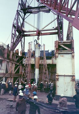
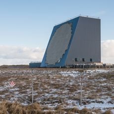
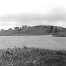
The island was inhabited by Aleut populations beginning around 2,500 years ago, with established villages and communities that thrived until the early 1800s when residents departed due to colonial pressures and economic shifts. In the Cold War era, it became a testing site for underground nuclear detonations by the United States between 1965 and 1971.
The Aleut people made this island their home for thousands of years, developing distinctive hunting practices and settlements adapted to its remote location. Their cultural legacy remains visible in archaeological remains scattered across the landscape.
The island is uninhabited and accessible only with special authorization because it is protected as part of the Alaska Maritime National Wildlife Refuge. Conditions are remote and demanding, so visitors need good physical preparation and appropriate gear for the harsh terrain.
The island holds three sealed underground chambers where nuclear tests once detonated, with ongoing monitoring to detect any radioactive seepage from these buried structures. These test sites remain sealed and subject to continuous environmental surveillance.
The community of curious travelers
AroundUs brings together thousands of curated places, local tips, and hidden gems, enriched daily by 60,000 contributors worldwide.