
Lamoille County, Administrative county in northern Vermont, US
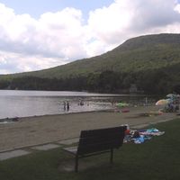
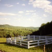
Lamoille County encompasses 464 square miles of mountainous terrain with the Green Mountains crossing its western section and numerous waterways throughout the territory.
The Vermont Legislature established Lamoille County in 1836 by combining sections from Orleans, Franklin, Washington, and Chittenden Counties into a new administrative entity.
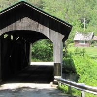
The county maintains multiple covered bridges across its rivers and features the Long Trail along the Green Mountains ridge for outdoor recreation activities.
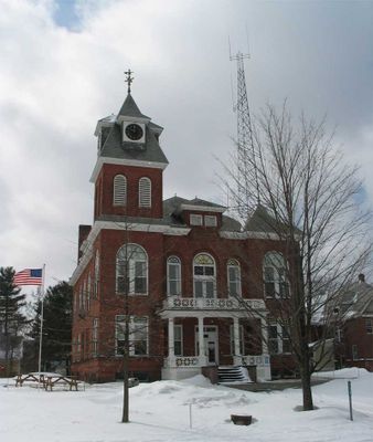
Hyde Park functions as the county seat while Morristown serves as the primary commercial center, providing essential services to the 25,945 residents.
The county contains Mount Belvidere, which housed a former asbestos mine that operated until the twentieth century and later became subject to environmental studies.
Location: Vermont
Inception: 1836
Capital city: Hyde Park
Shares border with: Orleans County, Caledonia County, Washington County, Chittenden County, Franklin County
Website: https://lcpcvt.org
GPS coordinates: 44.60007,-72.63315
Latest update: March 3, 2025 05:02
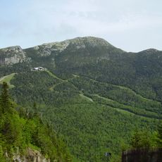
Mount Mansfield
15.7 km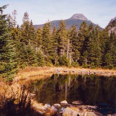
Long Trail
14.8 km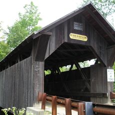
Gold Brook Covered Bridge
18.2 km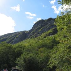
Smugglers' Notch State Park
13.9 km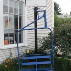
Vermont Ski and Snowboard Museum
14.9 km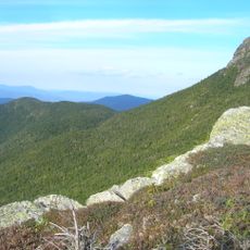
Mount Mansfield State Forest
19 km
Elmore State Park
10.3 km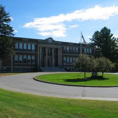
Peoples Academy
5.4 km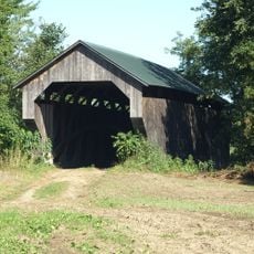
Gates Farm Covered Bridge
19.6 km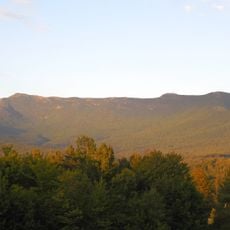
Underhill State Park
17.6 km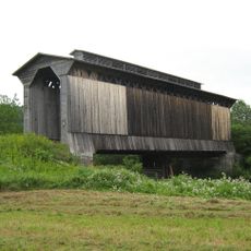
Fisher Covered Railroad Bridge
18 km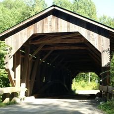
Grist Mill Covered Bridge
15.7 km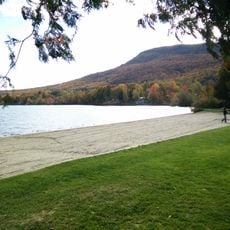
Green River Reservoir State Park
8.8 km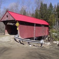
Red Covered Bridge
9.7 km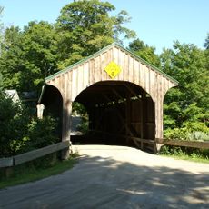
Church Street Covered Bridge
14.8 km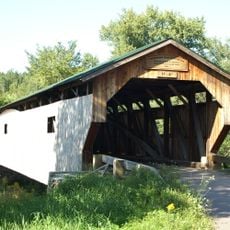
Poland Covered Bridge
15.4 km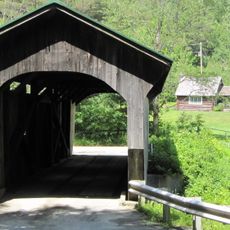
Morgan Covered Bridge
17.6 km
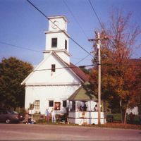
St. Thomas Church
23.6 km
Stowe Village Historic District
15.5 km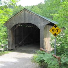
Montgomery Covered Bridge
14.9 km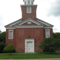
Cambridge Meetinghouse
16.4 km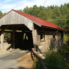
Power House Covered Bridge
5 km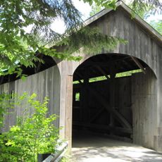
Mill Covered Bridge
18.1 km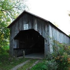
East Fairfield Covered Bridge
27.5 km
St. George's Catholic Church
24.1 km
The Current
15.7 km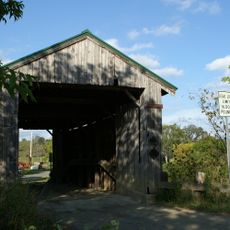
Scribner Covered Bridge
4.4 km
Jeffersonville Bridge
16.6 kmReviews
Visited this place? Tap the stars to rate it and share your experience / photos with the community! Try now! You can cancel it anytime.


Discover hidden gems everywhere you go!
From secret cafés to breathtaking viewpoints, skip the crowded tourist spots and find places that match your style. Our app makes it easy with voice search, smart filtering, route optimization, and insider tips from travelers worldwide. Download now for the complete mobile experience.

A unique approach to discovering new places❞
— Le Figaro
All the places worth exploring❞
— France Info
A tailor-made excursion in just a few clicks❞
— 20 Minutes