
Greenbrier County, Administrative county in southern West Virginia, United States.
Greenbrier County encompasses 1,021 square miles of mountains, rivers, and forests in the Allegheny Mountains region of southern West Virginia.
The county established in 1778 from parts of Montgomery and Botetourt counties served as the foundation for creating eleven additional West Virginia counties.
The State Fair of West Virginia takes place annually in the county, presenting agricultural exhibits, local crafts, music performances, and traditional food celebrations.
Interstate 64 connects the eastern and western sections of the county, while US Routes 219 and 60 intersect in the county seat of Lewisburg.
The county contains a Cold War-era bunker beneath The Greenbrier hotel, constructed to shelter Congress during potential nuclear conflicts.
Location: West Virginia
Inception: October 20, 1778
Capital city: Lewisburg
Shares border with: Webster County, Monroe County, Bath County, Alleghany County, Fayette County, Nicholas County, Pocahontas County, Summers County
Website: http://greenbriercounty.net
GPS coordinates: 37.95000,-80.45000
Latest update: May 27, 2025 06:54

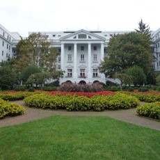
The Greenbrier
22.2 km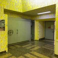
Project Greek Island
22.1 km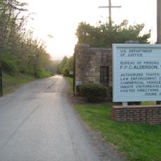
Federal Prison Camp, Alderson
31.7 km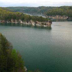
Summersville Lake
49.1 km
Lost World Caverns
13.1 km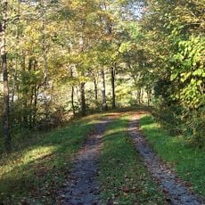
Greenbrier River Trail
43.4 km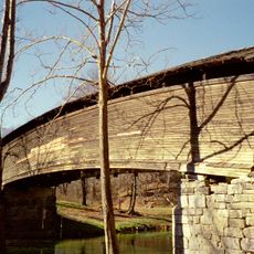
Humpback Covered Bridge
39.1 km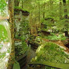
Beartown State Park
19.1 km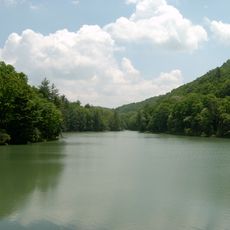
Watoga State Park
31.4 km
Droop Mountain Battlefield State Park
23.7 km
Pearl S. Buck Birthplace
30.3 km
Carnegie Hall
16.5 km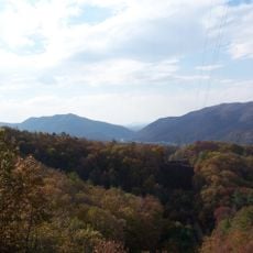
Greenbrier State Forest
25.6 km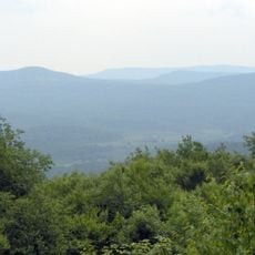
Big Draft Wilderness
16.5 km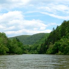
Spice Run Wilderness
21.7 km
John Wesley Methodist Church
16.8 km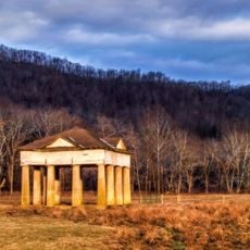
Blue Sulphur Springs Pavilion
21.6 km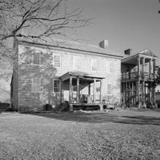
Renick Farm
9.4 km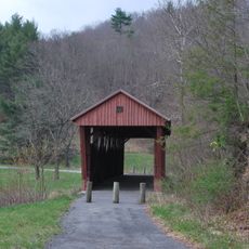
Hokes Mill Covered Bridge
28.9 km
Alexander McVeigh Miller House
29.3 km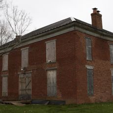
Deitz Farm
19.8 km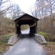
Herns Mill Covered Bridge
13.9 km
Alderson Bridge
30.3 km
Alderson Historic District
30.2 km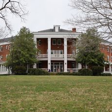
Pence Springs Hotel Historic District
37.9 km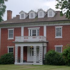
Rosedale Historic District
47.7 km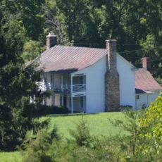
Persinger House
43 km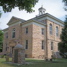
Nicholas County Courthouse
49.5 kmReviews
Visited this place? Tap the stars to rate it and share your experience / photos with the community! Try now! You can cancel it anytime.
Discover hidden gems everywhere you go!
From secret cafés to breathtaking viewpoints, skip the crowded tourist spots and find places that match your style. Our app makes it easy with voice search, smart filtering, route optimization, and insider tips from travelers worldwide. Download now for the complete mobile experience.

A unique approach to discovering new places❞
— Le Figaro
All the places worth exploring❞
— France Info
A tailor-made excursion in just a few clicks❞
— 20 Minutes