Enable Location

We need your location to show you interesting places around you

Discover nearby places

Find interesting locations and hidden gems around you

Precise directions

Get accurate directions and distances to places

Your location is never shared with other users. It's only used when you tap the location button.

Greenbrier County

Log in to your account

Start exploring — it's free

Trusted by 62,005 travelers worldwide

Continue with Google
Continue with Apple
or

We will send you a code to connect

By continuing, you accept our Terms and Conditions and our Privacy Policy

Check your inbox

We've sent a pincode in your inbox. Please enter the code below.

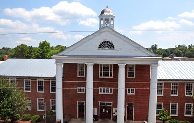
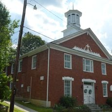
Greenbrier County, Administrative county in southern West Virginia, United States.

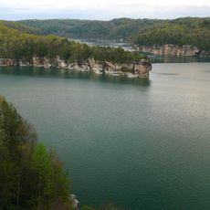
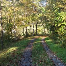
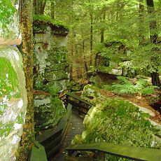
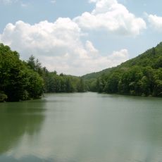
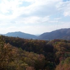
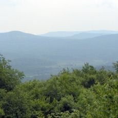
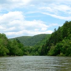
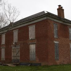
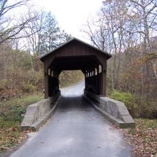
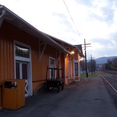
Greenbrier County is an administrative county in southern West Virginia covering mountains, rivers, and forests in the Allegheny Mountains region. The landscape features rolling terrain shaped by multiple waterways and dense woodland coverage.

The county was established in 1778 from portions of Montgomery and Botetourt counties. It became foundational territory from which eleven additional West Virginia counties were later created.

The annual State Fair of West Virginia takes place here with agricultural exhibits, local crafts, music performances, and traditional food. Visitors experience the region's culture and traditions firsthand through these gatherings.

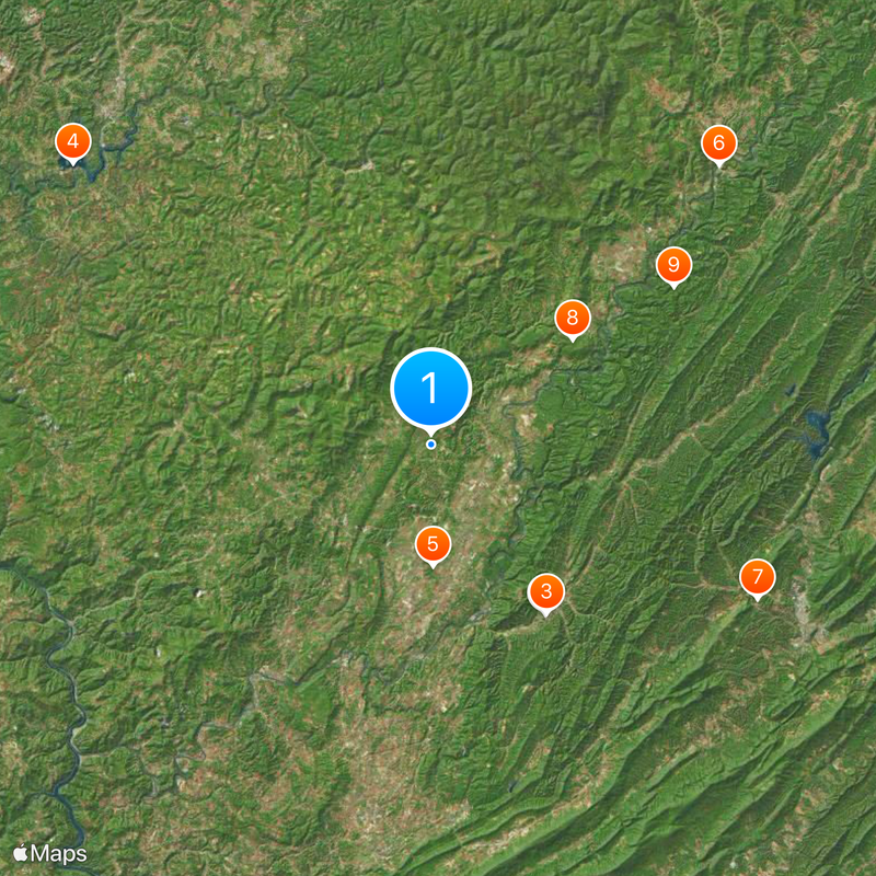
Interstate 64 connects the eastern and western sections, while US Routes 219 and 60 intersect in the county seat of Lewisburg. These main roads provide straightforward access for exploring different parts of the region.

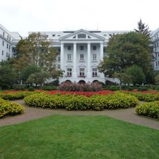
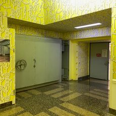
A Cold War-era bunker lies beneath The Greenbrier hotel, built to shelter Congress during potential nuclear conflicts. This hidden facility reflects the geopolitical tensions of that period.

The community of curious travelers

AroundUs brings together thousands of curated places, local tips, and hidden gems, enriched daily by 60,000 contributors worldwide.

Start exploring
Location
Inception
October 20, 1778
Capital city
Lewisburg
Shares border with
Webster County, Monroe County, Bath County, Alleghany County, Fayette County, Nicholas County, Pocahontas County, Summers County
GPS coordinates
37.95000,-80.45000
Latest update
December 17, 2025 11:23
Around this place
The Greenbrier
United States of America

The Greenbrier

22.2 km
Project Greek Island
United States of America

Project Greek Island

22.1 km
Summersville Lake
United States of America

Summersville Lake

49.1 km
Lost World Caverns
United States of America

Lost World Caverns

13.1 km
Greenbrier River Trail
United States of America

Greenbrier River Trail

43.4 km
Humpback Covered Bridge
United States of America

Humpback Covered Bridge

39.1 km
Beartown State Park
United States of America

Beartown State Park

19.1 km
Watoga State Park
United States of America

Watoga State Park

31.4 km
Droop Mountain Battlefield State Park
United States of America

Droop Mountain Battlefield State Park

23.7 km
Pearl S. Buck Birthplace
United States of America

Pearl S. Buck Birthplace

30.3 km
Carnegie Hall
United States of America

Carnegie Hall

16.5 km
United States of America

Kate's Mountain

24.5 km
United States of America

Johnsons Creek Natural Area Preserve

34.9 km
Greenbrier State Forest
United States of America

Greenbrier State Forest

25.6 km
Covington High School
United States of America

Covington High School

44.3 km
Big Draft Wilderness
United States of America

Big Draft Wilderness

16.5 km
Spice Run Wilderness
United States of America

Spice Run Wilderness

21.7 km
John Wesley Methodist Church
United States of America

John Wesley Methodist Church

16.8 km
United States of America

Denmar Correctional Center

25.2 km
Blue Sulphur Springs Pavilion
United States of America

Blue Sulphur Springs Pavilion

21.6 km
Renick Farm
United States of America

Renick Farm

9.4 km
United States of America

Droop Mountain

19.5 km
Hokes Mill Covered Bridge
United States of America

Hokes Mill Covered Bridge

28.9 km
Alexander McVeigh Miller House
United States of America

Alexander McVeigh Miller House

29.3 km
Deitz Farm
United States of America

Deitz Farm

19.8 km
Herns Mill Covered Bridge
United States of America

Herns Mill Covered Bridge

13.9 km
Alderson Bridge
United States of America

Alderson Bridge

30.3 km
Alderson Historic District
United States of America

Alderson Historic District

30.2 km
Show the full map
« Greenbrier County - Administrative county in southern West Virginia, United States » is provided by Around Us (aroundus.com). Images and texts are derived from Wikimedia project under a Creative Commons license. You are allowed to copy, distribute, and modify copies of this page, under the conditions set by the license, as long as this note is clearly visible.

Discover hidden gems everywhere you go!

From secret cafés to breathtaking viewpoints, skip the crowded tourist spots and find places that match your style. Our app makes it easy with voice search, smart filtering, route optimization, and insider tips from travelers worldwide. Download now for the complete mobile experience.

Around Us App Screenshot

A unique approach to discovering new places

Le Figaro

All the places worth exploring

France Info

A tailor-made excursion in just a few clicks

20 Minutes

Around Us
Travel Guide & Maps
Download

Send to your phone

QR Code
1

Open the camera app on your mobile.

2

Point at the QR code with your camera. A notification will appear.

3

Tap the notification to open the link.