Washington County

Log in to your account

AroundUs is a community-driven map of interesting places, built by curious explorers like you. It grows with every review, story, and photo you share.
Connect to save your favorite spots, contribute locations, and create personalized routes.
Continue with Google
Continue with Apple
Continue with X
Continue with Facebook
Continue with email
By continuing, you accept our Terms and Conditions and our Privacy Policy
Create an account
Add to collection
Map
Suggest a change
Share

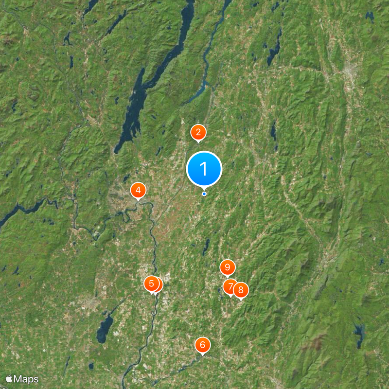
Washington County, Administrative county in northeastern New York, United States

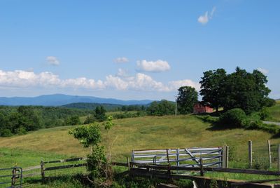
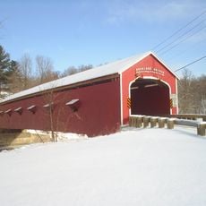
Washington County is an administrative division in northeastern New York situated between Vermont and the Adirondack region. The territory combines small towns, farmland, and industrial centers across a landscape shaped by river valleys and rolling terrain.

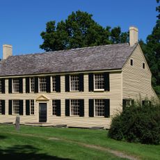
The county was established in 1772 and named to honor George Washington during the early years of American independence. Its location near Vermont made it strategically important during military campaigns and settlement expansion in the late 18th century.

The county's name reflects the influence of George Washington, whose legacy shaped the region's founding and identity. Today, residents and visitors can see how this historical connection appears in local commemorations and the way communities organize themselves.

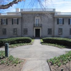
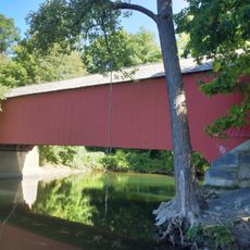
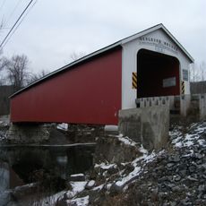
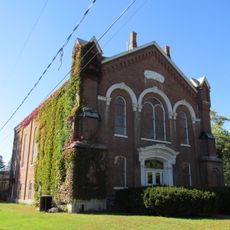
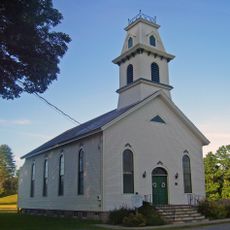
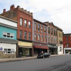
The county contains several town centers such as Hudson Falls and Fort Edward that serve as hubs for services and local activities. Visitors should expect varied terrain and prepare for changeable weather, particularly during winter months when conditions can shift quickly.

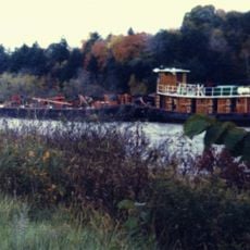
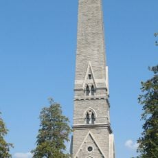
The area served as a frontier zone during the Revolutionary War, caught between competing American and British interests in the region. Several battlefield sites and military locations from this period remain marked and visible today for those exploring the territory.

Location: New York

Inception: March 12, 1772

Capital city: Fort Edward

Shares border with: Addison County, Bennington County, Rutland County, Essex County, Warren County, Saratoga County, Rensselaer County

Website: http://co.washington.ny.us

GPS coordinates: 43.32315,-73.42819

Latest update: December 20, 2025 00:41

Photos
Around this place
Champlain Canal
United States of America

Champlain Canal

13.3 km
General Schuyler House
United States of America

General Schuyler House

28.2 km
The Hyde Collection
United States of America

The Hyde Collection

16.8 km
Saratoga Battle Monument
United States of America

Saratoga Battle Monument

28.4 km
Buskirk Bridge
United States of America

Buskirk Bridge

40.6 km
Shushan Bridge
United States of America

Shushan Bridge

26.7 km
Eagleville Bridge
United States of America

Eagleville Bridge

28.3 km
Rexleigh Bridge
United States of America

Rexleigh Bridge

21.8 km
Revolutionary War Cemetery
United States of America

Revolutionary War Cemetery

19.1 km
Devil's Bowl Speedway
United States of America

Devil's Bowl Speedway

39.9 km
United States of America

Gerald B. H. Solomon Saratoga National Cemetery

36.2 km
United States of America

Black Mountain

32.6 km
Old Fort House
United States of America

Old Fort House

14.2 km
Skene Manor
United States of America

Skene Manor

26 km
United States of America

Marshall House

26.6 km
United States of America

Susan B. Anthony Childhood House

23.7 km
United States of America

Hadlock Pond

16.2 km
Silver Bay Association Complex
United States of America

Silver Bay Association Complex

41.7 km
William Miller Chapel and Ascension Rock
United States of America

William Miller Chapel and Ascension Rock

31.7 km
Salem Historic District
United States of America

Salem Historic District

18.7 km
Lemuel Haynes House
United States of America

Lemuel Haynes House

12.9 km
United States of America

Hubbard Hall

33.1 km
United States of America

Schuylerville Bridge

27.7 km
Society of Friends Hall
United States of America

Society of Friends Hall

16.5 km
South Granville Congregational Church
United States of America

South Granville Congregational Church

12.7 km
Main Street Historic District
United States of America

Main Street Historic District

26 km
St. Mary's – St. Alphonsus Regional Catholic School
United States of America

St. Mary's – St. Alphonsus Regional Catholic School

16.4 km
United States of America

Cunningham House

16.7 km
Show the full map
Reviews

Visited this place? Tap the stars to rate it and share your experience / photos with the community! Try now! You can cancel it anytime.

« Washington County - Administrative county in northeastern New York, United States » is provided by Around Us (aroundus.com). Images and texts are derived from Wikimedia project under a Creative Commons license. You are allowed to copy, distribute, and modify copies of this page, under the conditions set by the license, as long as this note is clearly visible.

Discover hidden gems everywhere you go!

From secret cafés to breathtaking viewpoints, skip the crowded tourist spots and find places that match your style. Our app makes it easy with voice search, smart filtering, route optimization, and insider tips from travelers worldwide. Download now for the complete mobile experience.

Around Us App Screenshot

A unique approach to discovering new places

Le Figaro

All the places worth exploring

France Info

A tailor-made excursion in just a few clicks

20 Minutes