Nevada County, Administrative county in California, United States.
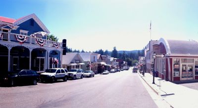
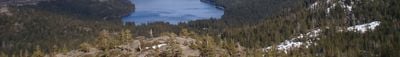
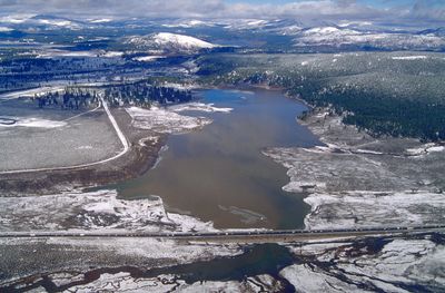
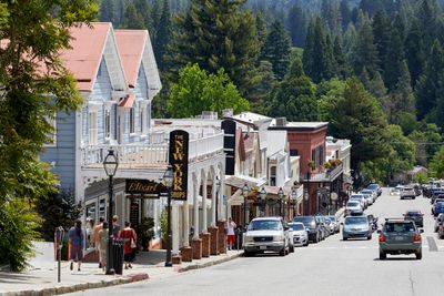
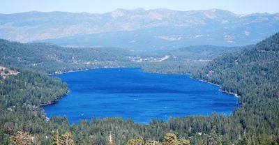
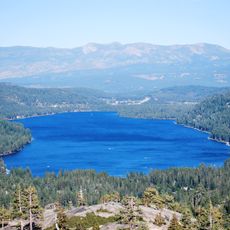
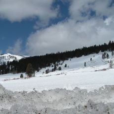
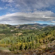
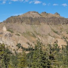
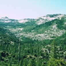
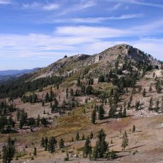
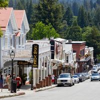
Nevada County is an administrative district in northern California that includes the towns of Nevada City and Grass Valley along with wide forested areas of the Sierra Nevada. The landscape shifts between wooded slopes, narrow river valleys and open pastures while elevations vary widely between low valleys and mountain ridges.
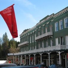
The area formed in 1851 as a mining district after prospectors began building camps along rivers and creeks. Early settlements grew rapidly as sawmills and trading posts supplied the mine workers.
Volunteers organize weekend festivals and fairs in the downtowns where local musicians and craftspeople show their work. Many residents tend gardens and run small farms in the hills where apples and vegetables grow using traditional methods.
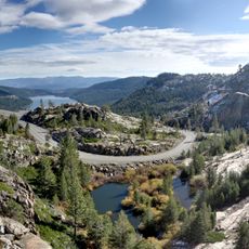
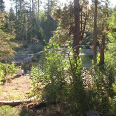
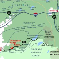
Main roads connect the two largest towns and lead into higher mountain areas where snow covers the ground in winter. Hiking trails along rivers are open in summer while some back roads remain closed outside the season.
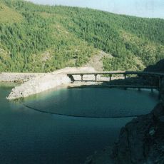
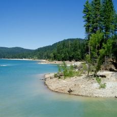
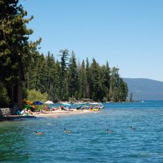
The South Yuba River flows through deep canyons with granite rocks that form natural pools where swimmers cool off on hot days. At some riverside spots visitors still find abandoned tools and shafts left from the first prospectors.
Location: California
Inception: 1851
Capital city: Nevada City
Shares border with: Sierra County, Yuba County, Placer County, Washoe County
Website: http://mynevadacounty.com
GPS coordinates: 39.30000,-120.77000
Latest update: December 13, 2025 19:00
Donner Lake
43.6 km
Donner Memorial State Park
45.5 km
Empire Mine State Historic Park
25.9 km
Tahoe National Forest
24.2 km
New Bullards Bar Reservoir
33.5 km
Emigrant Gap
9 km
Hell Hole Reservoir
40.8 km
New Bullards Bar Dam
33.7 km
South Yuba River State Park
36.6 km
Bridgeport Covered Bridge
36.6 km
Lake Tahoe Basin Management Unit
74.4 km
Scotts Flat Reservoir
14.2 km
Ed Z'berg Sugar Pine Point State Park
62.1 kmIndependence Lake
42.6 km
Sugar Pine Reservoir
18.6 km
Englebright Lake
43.6 km
Home of Lola Montez
27 kmMount Pluto, California
54.7 kmBurton Creek State Park
55.4 km
French Meadows Reservoir
33.4 km
Boca Reservoir
59 km
Castle Peak
37 km
North Star House
28.9 kmSagehen Creek Field Station
48.2 kmRed Dog
14.5 km
Granite Chief Wilderness
45.3 km
National Exchange Hotel
21.7 km
Granite Chief
43.1 kmVisited this place? Tap the stars to rate it and share your experience / photos with the community! Try now! You can cancel it anytime.
Discover hidden gems everywhere you go!
From secret cafés to breathtaking viewpoints, skip the crowded tourist spots and find places that match your style. Our app makes it easy with voice search, smart filtering, route optimization, and insider tips from travelers worldwide. Download now for the complete mobile experience.
A unique approach to discovering new places❞
— Le Figaro
All the places worth exploring❞
— France Info
A tailor-made excursion in just a few clicks❞
— 20 Minutes