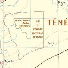
Djanet, Oasis city in southeastern Algeria.
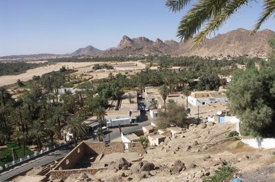
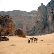
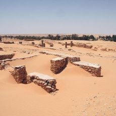
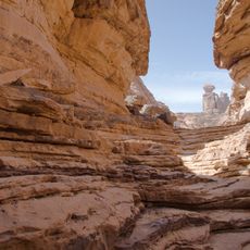
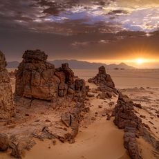
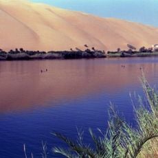
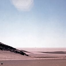
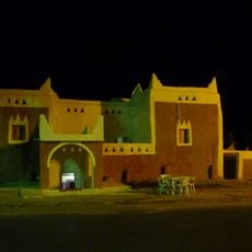
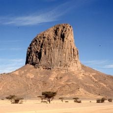
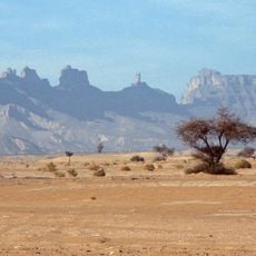
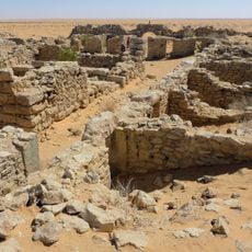
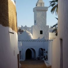
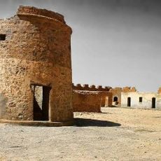
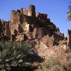
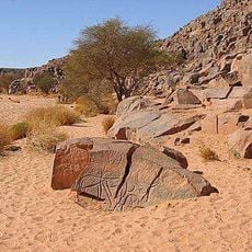
Djanet is an oasis city in southeastern Algeria situated on elevated terrain and surrounded by rocky mountain ranges and sand formations. The city features palm-lined valleys that contrast with the surrounding desert landscape.
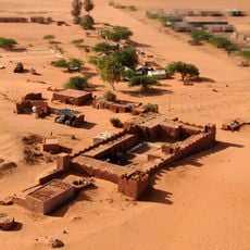
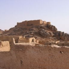
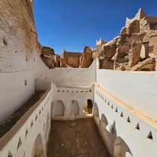
The settlement originated as a Tuareg community in medieval times and later came under colonial rule during the early twentieth century. This layered past continues to influence the city's social structure and identity.
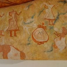
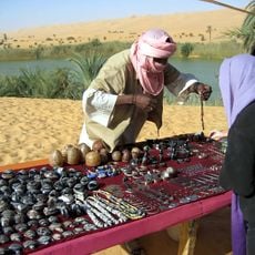
The Tuareg community shapes daily life with traditional crafts visible in local markets and workshops. Handmade baskets and pottery with distinctive patterns reflect practices passed down through generations.
The city is best reached by air, with regular flights connecting to the local airport located outside the city. Visitors should prepare for extreme heat and limited services, making visits more comfortable during cooler months.
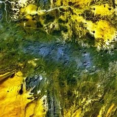
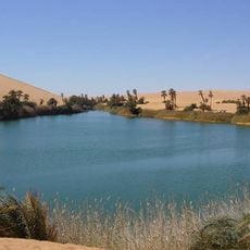
A river flows intermittently through the region, allowing date palm groves to flourish in an otherwise arid setting. This natural phenomenon creates an unexpected refuge within the desert landscape.
Location: Djanet District
Elevation above the sea: 1,035 m
Shares border with: Illizi
GPS coordinates: 24.55500,9.48528
Latest update: December 6, 2025 16:02
Algeria brings together Roman ruins, Islamic architecture and natural areas into one collection that shows the depth of the region's history and landscape. From the Mediterranean coast to the Sahara, the country offers visitors a wide range of places to explore. The north holds ancient Roman cities...
Séfar
22.3 km
Mount Tahat
425.8 km
Tomb of Tin Hinan
506.1 km
Limes Tripolitanus
621.9 km
Tadrart Acacus
91.2 km
Madama
515.4 km
Tassili Cultural Park
66.8 km
Aïr and Ténéré National Nature Reserve
574.3 km
Gaberoun
477.1 km
Ahaggar Cultural Park
464.6 km
Adrar Bous
468.2 km
Fortress of Ghat
83.9 km
Taourirt ta-n-Afella
455.3 km
Aïr and Ténéré Addax Sanctuary
564.5 km
Arak gorges
581.7 km
Ghadames Museum
620.8 km
Iharen
440.5 km
Germa Museum
421.3 km
Idinen
109.6 km
Cidamus
621 km
Atiq Mosque
620.9 km
Mafo Lake
473.8 km
Tahalra Volcanic Field
503.3 km
قلعة مرزق Murzuq Castil
470.6 km
Fort of Djado
489 km
Tengerzan lake
479.4 km
Old Town of Ghadamès
620.9 km
Wadi Mathendous
302.1 kmVisited this place? Tap the stars to rate it and share your experience / photos with the community! Try now! You can cancel it anytime.
Discover hidden gems everywhere you go!
From secret cafés to breathtaking viewpoints, skip the crowded tourist spots and find places that match your style. Our app makes it easy with voice search, smart filtering, route optimization, and insider tips from travelers worldwide. Download now for the complete mobile experience.
A unique approach to discovering new places❞
— Le Figaro
All the places worth exploring❞
— France Info
A tailor-made excursion in just a few clicks❞
— 20 Minutes