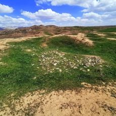
Hamrin Mountains, Mountain range in northeastern Iraq
The Hamrin Mountains stretch from Diyala Governorate near Iran to the Tigris River, passing through Saladin and Kirkuk Governorates. This range forms a major geographical barrier across Iraqi territory.
In ancient times, these mountains marked the boundary between Lower Mesopotamia, known as Babylonia, and Upper Mesopotamia, called Assyria. This division held significant geopolitical importance in the ancient world.
The mountains form a natural language boundary between Arabic-speaking communities in the south and Kurdish-speaking populations in the north. This division shapes daily life and local traditions across the region.
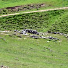
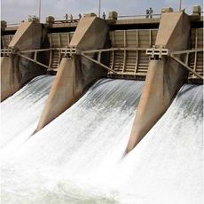
An artificial lake created in 1981 lies in the region and stores water for irrigation and fishing. Conditions in this area can change depending on the season and weather patterns.
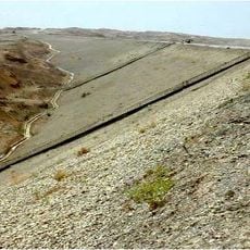
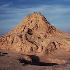
The geological formation represents the westernmost extension of the Zagros Mountains and is classified as an anticlinal fold structure. This distinctive formation explains the shape and alignment of the mountains.
The community of curious travelers
AroundUs brings together thousands of curated places, local tips, and hidden gems, enriched daily by 60,000 contributors worldwide.