
Hiram Township, township in Portage County, Ohio
Location: Portage County
Elevation above the sea: 377 m
Website: http://hiramtownship.org
Website: http://hiramtownship.org
GPS coordinates: 41.30250,-81.14861
Latest update: April 17, 2025 18:02

Geauga Lake
19.1 km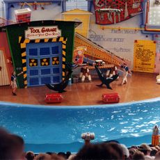
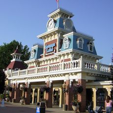
SeaWorld Ohio
19.1 km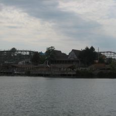
Big Dipper
19.9 km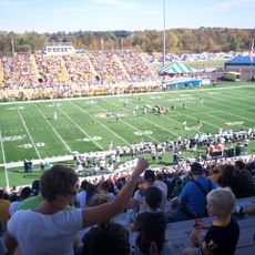
Dix Stadium
22.8 km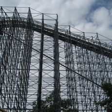
Villain
19.5 km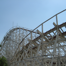
Raging Wolf Bobs
19.5 km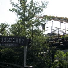
Double Loop
19.9 km
Punderson State Park
18.2 km
West Branch State Park
18.1 km
Nelson Kennedy Ledges State Park
9.6 km
Chagrin Falls
24.9 km
Beaver Land Mine Ride
19.8 km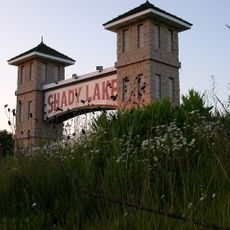
Shady Lake Park
18.6 km
Tanglewood National Golf Club
18.5 km
Memorial Stadium
23.7 km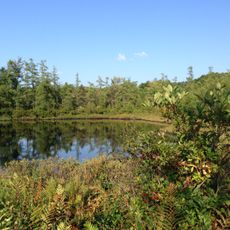
Triangle Lake Bog State Nature Preserve
22.3 km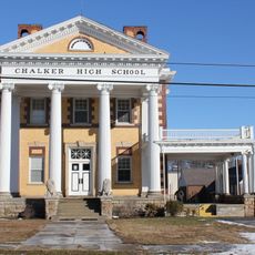
Chalker High School
16 km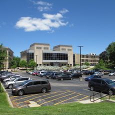
Wills Gymnasium
23.8 km
Rockwell Field
22.8 km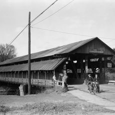
Newton Falls Covered Bridge
19.6 km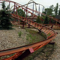
Roller Coaster
19.8 km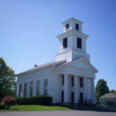
Freedom Congregational Church
7.5 km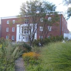
Hiram College Library
934 m
Mantua Center School
8.1 km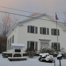
Free Will Baptist Church of Auburn
11.1 km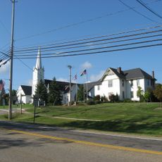
Aurora Center Historic District
16.7 km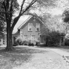
C.R. Howard House
15.3 km
Ohio State Normal College At Kent
23.7 kmReviews
Visited this place? Tap the stars to rate it and share your experience / photos with the community! Try now! You can cancel it anytime.
Discover hidden gems everywhere you go!
From secret cafés to breathtaking viewpoints, skip the crowded tourist spots and find places that match your style. Our app makes it easy with voice search, smart filtering, route optimization, and insider tips from travelers worldwide. Download now for the complete mobile experience.

A unique approach to discovering new places❞
— Le Figaro
All the places worth exploring❞
— France Info
A tailor-made excursion in just a few clicks❞
— 20 Minutes