
Long Lake, lac aux États-Unis, Californie, comté de Plumas
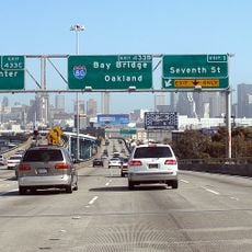
Interstate 80 in California
43 km
Tahoe National Forest
21.1 km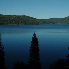
Plumas National Forest
32.2 km
New Bullards Bar Reservoir
52.1 km
Emigrant Gap
44.2 km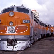
Western Pacific Railroad Museum
21 km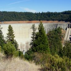
New Bullards Bar Dam
53 km
Beckwourth Pass
50.1 km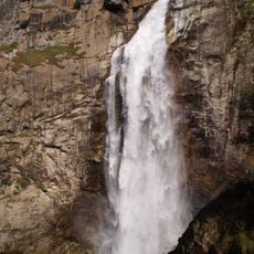
Feather Falls
51.2 km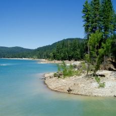
Scotts Flat Reservoir
52.2 km
Plumas-Eureka State Park
7.1 km
Bucks Lake Wilderness
50.9 km
Castle Peak
46.9 km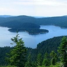
Little Grass Valley Reservoir
26.6 km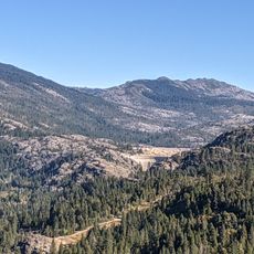
Lake Spaulding Dam
41.6 km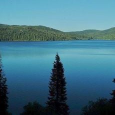
Bucks Lake
45.9 km
Oregon Creek Covered Bridge
48.2 km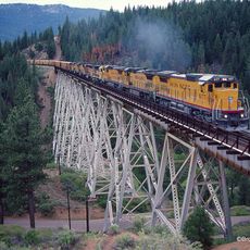
Clio trestle
11.5 km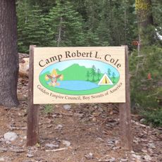
Camp Robert L. Cole
42 km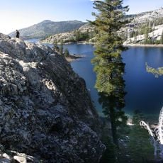
French Lake Reservoir
33.3 km
Hosselkus Limestone
40.2 km
Sierra County Sheriff's Gallows
20.2 km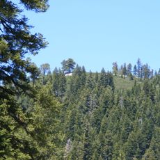
Schroeder Mountain
15.4 km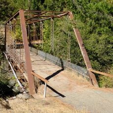
Hospital Bridge
18.9 km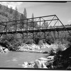
Purdon Crossing Bridge
52 km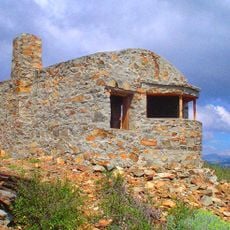
Red Mountain Lookout
42.3 km
Freeman's Crossing Bridge
48.5 km
Durgan Bridge
20.1 kmReviews
Visited this place? Tap the stars to rate it and share your experience / photos with the community! Try now! You can cancel it anytime.
Discover hidden gems everywhere you go!
From secret cafés to breathtaking viewpoints, skip the crowded tourist spots and find places that match your style. Our app makes it easy with voice search, smart filtering, route optimization, and insider tips from travelers worldwide. Download now for the complete mobile experience.

A unique approach to discovering new places❞
— Le Figaro
All the places worth exploring❞
— France Info
A tailor-made excursion in just a few clicks❞
— 20 Minutes