Enable Location

We need your location to show you interesting places around you

Discover nearby places

Find interesting locations and hidden gems around you

Precise directions

Get accurate directions and distances to places

Your location is never shared with other users. It's only used when you tap the location button.

Log in to your account

Start exploring — it's free

Trusted by 62,843 travelers worldwide

Continue with Google
Continue with Apple
or

We will send you a code to connect

By continuing, you accept our Terms and Conditions and our Privacy Policy

Check your inbox

We've sent a pincode in your inbox. Please enter the code below.

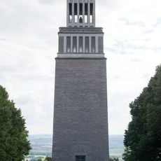
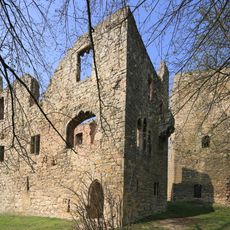
Sömmerda, Rural district in northern Thuringia, Germany.

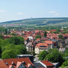
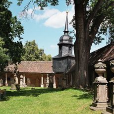
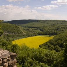
Sömmerda is a rural district spanning across northern Thuringia that encompasses numerous surrounding communities. The town of Sömmerda serves as the administrative center for the entire district.

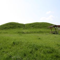
The district was formed in 1994 through the merger of municipalities from dissolved administrative areas, creating a new regional structure. This reorganization brought together previously separate communities under unified governance.

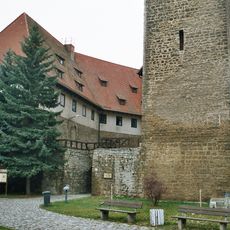
The coat of arms displays symbols tied to historic territorial powers: the Saxon emblem, the Thuringian lion, and the Wheel of Mainz shape local identity. These heraldic elements reflect medieval rule that defined the region.

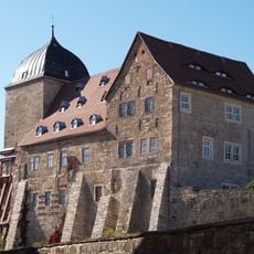
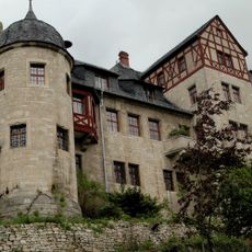
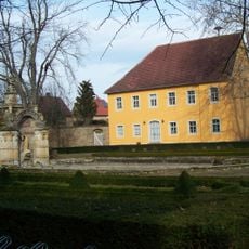
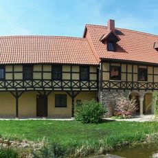
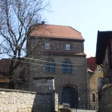
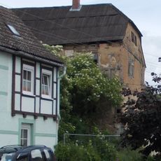
The area is best explored by car, allowing visitors to move between towns and countryside at a relaxed pace. Plan adequate time to visit the different communities and discover local attractions at your own rhythm.

The town of Kölleda within the district earned recognition through its long tradition of growing aromatic and medicinal herbs. This heritage gave the place its distinctive reputation connected to peppermint cultivation and the wider craft of herbal farming.

The community of curious travelers

AroundUs brings together thousands of curated places, local tips, and hidden gems, enriched daily by 60,000 contributors worldwide.

Start exploring
Location
Capital city
Sömmerda
Elevation above the sea
138 m
Shares border with
Erfurt, Gotha, Unstrut-Hainich-Kreis, Kyffhäuserkreis, Burgenlandkreis, Weimarer Land
GPS coordinates
51.16000,11.16000
Latest update
December 7, 2025 10:06
« Sömmerda - Rural district in northern Thuringia, Germany » is provided by Around Us (aroundus.com). Images and texts are derived from Wikimedia project under a Creative Commons license. You are allowed to copy, distribute, and modify copies of this page, under the conditions set by the license, as long as this note is clearly visible.

Discover hidden gems everywhere you go!

From secret cafés to breathtaking viewpoints, skip the crowded tourist spots and find places that match your style. Our app makes it easy with voice search, smart filtering, route optimization, and insider tips from travelers worldwide. Download now for the complete mobile experience.

Around Us App Screenshot

A unique approach to discovering new places

Le Figaro

All the places worth exploring

France Info

A tailor-made excursion in just a few clicks

20 Minutes

Around Us
Travel Guide & Maps
Download

Send to your phone

QR Code
1

Open the camera app on your mobile.

2

Point at the QR code with your camera. A notification will appear.

3

Tap the notification to open the link.