
Záhoří, village and municipality (obec) in Tábor District
Location: Tábor District
Location: správní obvod obce s rozšířenou působností Tábor
Elevation above the sea: 438 m
Shares border with: Žimutice, Čenkov u Bechyně, Bečice, Hodětín, Březnice
Email: info@obeczahori.eu
Website: http://obeczahori.eu
GPS coordinates: 49.23967,14.51351
Latest update: March 9, 2025 04:47
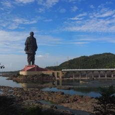
Statue of Unity
5977.7 km
Kaaba
3818.4 km
Angkor Wat
8845.8 km
Mount Kilimanjaro
6226.2 km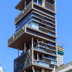
Antilia
6145 km
Narendra Modi Stadium
5797.3 km
Merdeka 118
9549.5 km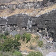
Ajanta Caves
6223.3 km
Uluru
14025.4 km
Sydney Opera House
16112.8 km
Kalambo
6642 km
Petronas Towers
9548.9 km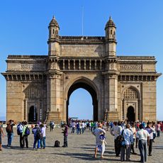
Gateway of India
6150.6 km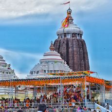
Jagannath Temple
7016.4 km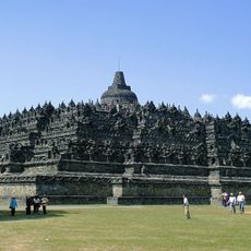
Borobudur
11072.3 km
Victoria Falls
7560.4 km
Black Stone
3818.4 km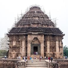
Konark Sun Temple
7029.8 km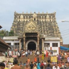
Padmanabhaswamy Temple
7320 km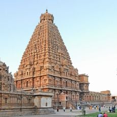
Brihadisvara Temple
7277.8 km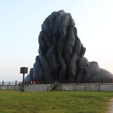
Adiyogi Shiva statue
7091.7 km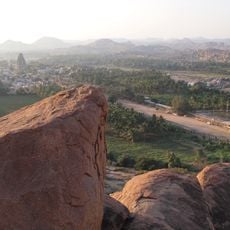
Hampi
6705.5 km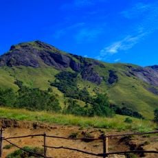
Western Ghats
7183.8 km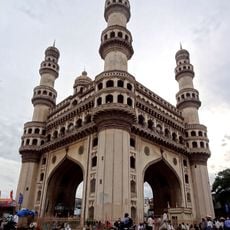
Charminar
6682.3 km
Taal Volcano
9995.6 km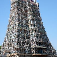
Meenakshi Temple
7279.5 km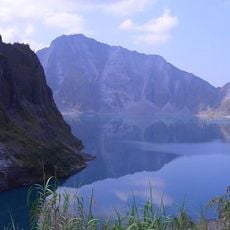
Pinatubo
9853.4 km
Reviews
Visited this place? Tap the stars to rate it and share your experience / photos with the community! Try now! You can cancel it anytime.
Discover hidden gems everywhere you go!
From secret cafés to breathtaking viewpoints, skip the crowded tourist spots and find places that match your style. Our app makes it easy with voice search, smart filtering, route optimization, and insider tips from travelers worldwide. Download now for the complete mobile experience.

A unique approach to discovering new places❞
— Le Figaro
All the places worth exploring❞
— France Info
A tailor-made excursion in just a few clicks❞
— 20 Minutes