Rožmitál pod Třemšínem, Municipality in Příbram District, Czech Republic.
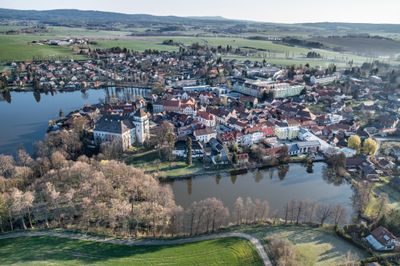
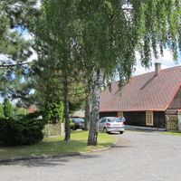
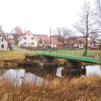
Rožmitál pod Třemšínem is a town in the Czech Republic situated at 519 meters elevation in the Benešov Uplands, surrounded by the Brdy Highlands to the south. The landscape consists of rolling terrain with forests and farmland crisscrossed by waterways and fish ponds that shape the character of the local countryside.
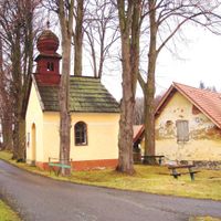
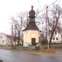
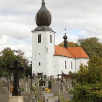
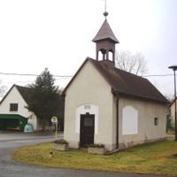
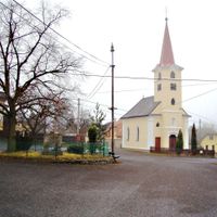
The settlement received its first written mention in 1265, though archaeological pottery from the 10th and 11th centuries found in the Starý Rožmitál area shows earlier habitation. The original church from the 13th century underwent significant baroque renovation between 1729 and 1731.
The Church of the Exaltation of the Holy Cross anchors community life with its baroque appearance and serves as the focal point for local celebrations throughout the year. Religious traditions remain visible in how townspeople gather for seasonal festivals and processions in the town square.
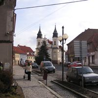
The town sits on the I/19 road connecting Plzeň and Tábor, with the I/18 route heading toward Příbram and a railway line running to Březnice. The compact layout makes exploration on foot straightforward, and parking is readily available near the town center.
The Skalice River originates in this region and creates a network of fish ponds, including the large Podzámecký pond that extends across municipal lands. This pond is locally known for wildlife watching and offers a peaceful walk away from the roads.
The community of curious travelers
AroundUs brings together thousands of curated places, local tips, and hidden gems, enriched daily by 60,000 contributors worldwide.