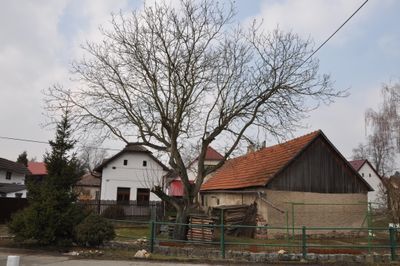
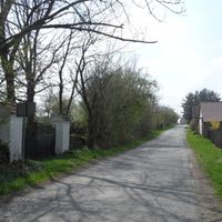
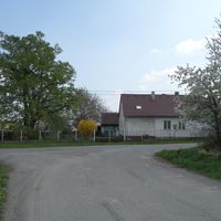
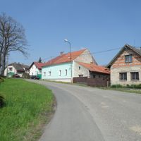
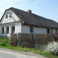
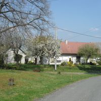
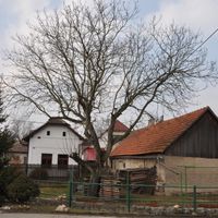
Úmonín, village in Kutná Hora District of Central Bohemian region
Location: Kutná Hora District
Location: správní obvod obce s rozšířenou působností Kutná Hora
Elevation above the sea: 342 m
Shares border with: Černíny, Červené Janovice, Třebonín, Křesetice, Malešov, Opatovice I, Souňov, Kluky
Email: umonin@obecumonin.cz
Website: http://obecumonin.cz
GPS coordinates: 49.88873,15.27145
Latest update: March 3, 2025 03:22
Statue of Unity
5934.8 km
Kaaba
3832.2 km
Angkor Wat
8781.5 km
Mount Kilimanjaro
6265.2 km
Antilia
6106.6 km
Narendra Modi Stadium
5754.2 km
Merdeka 118
9495.2 km
Ajanta Caves
6179.7 km
Uluru
13968.5 km
Sydney Opera House
16046.9 km
Kalambo
6692.8 km
Petronas Towers
9494.6 km
Gateway of India
6112.2 km
Jagannath Temple
6962.8 km
Borobudur
11018.8 km
Victoria Falls
7620.6 km
Black Stone
3832.2 km
Konark Sun Temple
6975.9 km
Padmanabhaswamy Temple
7287.9 km
Brihadisvara Temple
7240.7 km
Adiyogi Shiva statue
7057.3 km
Hampi
6666.8 km
Western Ghats
7149.8 km
Charminar
6639 km
Taal Volcano
9918.4 km
Meenakshi Temple
7244.5 km
Pinatubo
9776.1 km
Visited this place? Tap the stars to rate it and share your experience / photos with the community! Try now! You can cancel it anytime.
Discover hidden gems everywhere you go!
From secret cafés to breathtaking viewpoints, skip the crowded tourist spots and find places that match your style. Our app makes it easy with voice search, smart filtering, route optimization, and insider tips from travelers worldwide. Download now for the complete mobile experience.
A unique approach to discovering new places❞
— Le Figaro
All the places worth exploring❞
— France Info
A tailor-made excursion in just a few clicks❞
— 20 Minutes