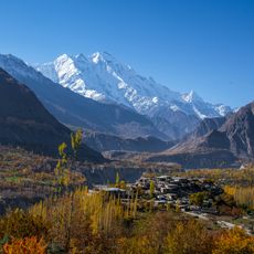
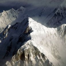
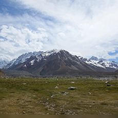
Wakhan Corridor, Geographic corridor in Badakhshan, Afghanistan
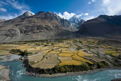
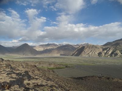
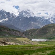
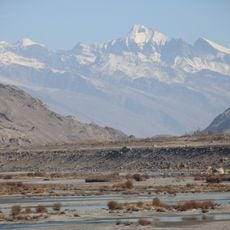
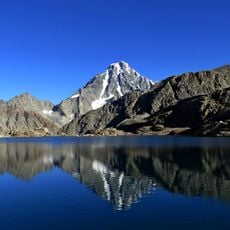
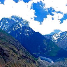
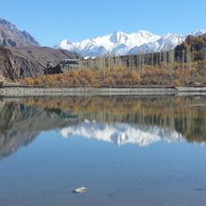
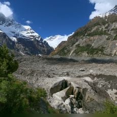
The Wakhan Corridor is a narrow strip of territory in Badakhshan, Afghanistan, stretching eastward to the Chinese border and enclosed by the Pamir Mountains. Steep valleys and high plateaus shape the landscape, with small villages along the river courses and scattered camps at the highest elevations.
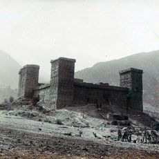
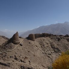
The corridor was created in 1893 as a buffer between British and Russian spheres of influence, following the establishment of the Durand Line marking the border between Afghanistan and British India. The isolation of this mountain zone prevented major infrastructure projects in the following decades and preserved the traditional way of life of its inhabitants.
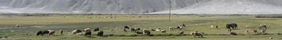
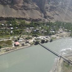
Wakhi farmers live in permanent settlements along the rivers, where they grow barley and wheat and irrigate their fields through ancient channels fed by meltwater. Higher up on the plateaus, Kyrgyz families move between summer pastures with their yurts, relying on yaks and sheep for wool, milk, and transport.
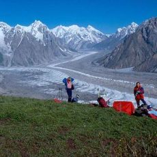
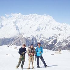
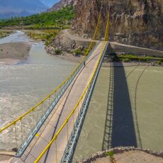
Access routes follow steep trails and high passes that are often blocked by snow for months and can be reached only on foot or with pack horses during summer. Travelers should allow time for acclimatization because of the thin air and the absence of medical facilities.
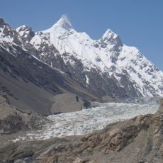
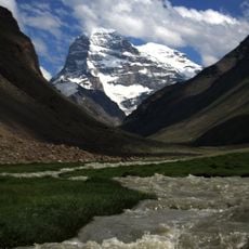
The national park protects the largest population of Marco Polo sheep outside China since 2014, grazing on the barren slopes above 12,100 feet (3,700 meters). Snow leopards roam the same areas, following the movements of wild sheep and ibex.
The community of curious travelers
AroundUs brings together thousands of curated places, local tips, and hidden gems, enriched daily by 60,000 contributors worldwide.