Balkans, Peninsula in southeastern Europe
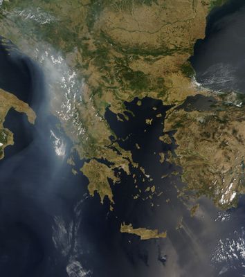
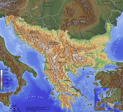
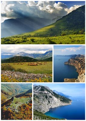
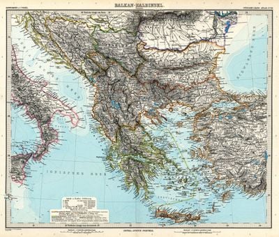
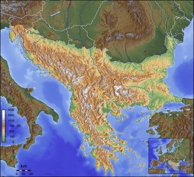
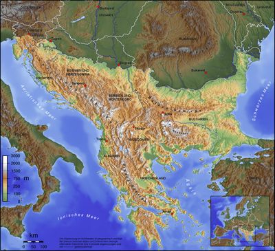
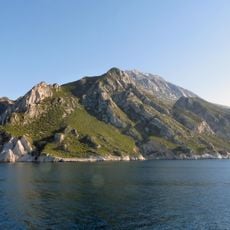
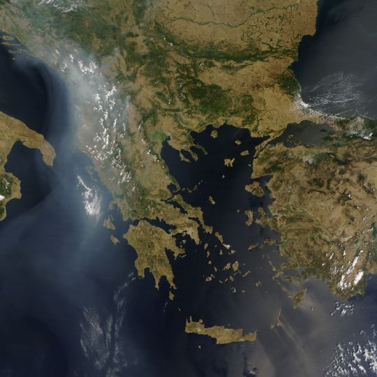
The Balkans form a peninsula in southeastern Europe, bordered by the Adriatic, Ionian, Aegean, and Black seas. The terrain shifts from coastal valleys and dense forests to limestone plateaus and mountain ranges running roughly east to west.
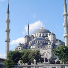
The Ottoman Empire ruled over much of the peninsula from the 14th century onward, until independent nation-states emerged in the 19th century. The collapse of Yugoslavia in the 1990s brought new borders and political shifts to several countries in the region.
Markets in towns and villages sell local cheeses, cured meats and homemade rakija, while locals linger over strong coffee and unhurried conversation. Polyphonic singing can be heard at festivals and in rural churches, often accompanied by musicians playing traditional stringed instruments.
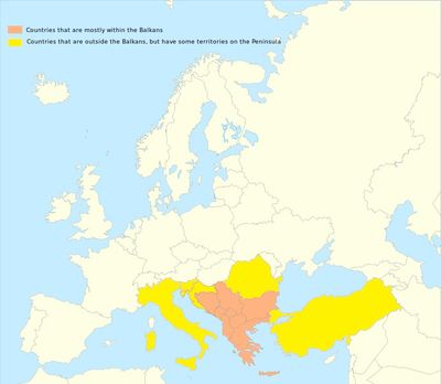
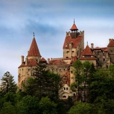
The region covers Albania, Bosnia and Herzegovina, Bulgaria, Croatia, Kosovo, Montenegro, North Macedonia, Romania, Serbia, and parts of Greece and Turkey. Roads along the coasts and through mountain passes are generally in good condition, while remote valleys can sometimes be reached only by narrow mountain routes.
The Balkan Mountains gave the entire region its name, and Musala peak in Bulgaria, at 9,596 feet (2,925 meters), is the highest point on the peninsula. Old shepherd trails along the ridges now connect remote villages with high pastures and are used mainly by hikers.
The community of curious travelers
AroundUs brings together thousands of curated places, local tips, and hidden gems, enriched daily by 91,817 contributors worldwide.