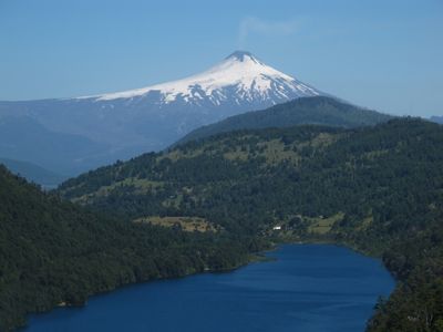
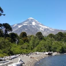
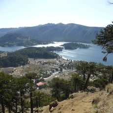
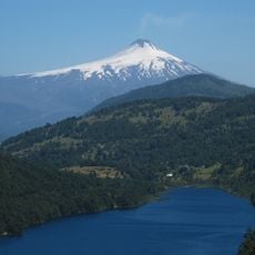
Tinquilco Lake, Glacial lake in Huerquehue National Park, Pucón, Chile
Tinquilco Lake is a glacial lake in Huerquehue National Park situated at about 700 meters elevation and drained by the Quinchol River system. It forms the gateway to a hiking route that connects several interconnected water bodies throughout the park.
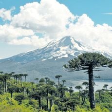
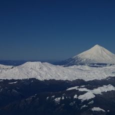
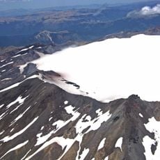
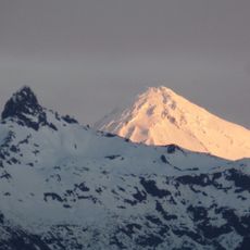
The lake was formed through glacial processes during the last ice age as part of a broader network of water bodies in the Araucanía region. This glacial activity shaped the landscape and created the interconnected system of lakes we see today.
Mapuche communities have deep roots in this territory and maintain their traditional practices in connection with the landscape. The lake and surrounding forests remain part of their way of life and spiritual relationship with nature.
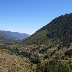
The lake marks the start of a hiking route through the park that connects several lakes and takes several hours to complete. Visitors should be prepared for changing mountain weather and terrain that ranges from forest trails to higher elevations.
The lake basin is home to one of the largest Coihue trees in the country, standing among forests that remain minimally disturbed by human activity. This ancient tree represents a rare example of the native vegetation that once covered the region more widely.
Location: Pucón
GPS coordinates: -39.16520,-71.72520
Latest update: December 6, 2025 17:43
Chile stretches over 2,670 miles (4,300 kilometers) from north to south, crossing some of South America's most varied landscapes. The north features the Atacama Desert with its salt flats, geysers at El Tatio, and astronomical observatories such as Paranal. The coastal city of Valparaíso displays...
Villarrica Volcano
33.9 km
Lanín
55.9 km
Conguillío National Park
55.9 km
Llaima
52.3 km
Batea Mahuida Volcano
60.9 km
Icalma
54.9 km
Villarrica National Park
35.4 km
Huerquehue National Park
6.5 km
Termas geométricas
39.6 km
Sollipulli
27.6 km
Ojos del Caburgua
13.6 km
Quetrupillán
36.9 km
China Muerta National Reserve
57.6 km
Casino de Pucón
24.7 km
Sitio de Villarrica
45.3 km
Villarrica National Reserve
28.5 km
Termas Huife
9.1 km
Estadio Municipal de Villarrica
44.9 km
Cathedral of the Sacred Heart, Villarrica
44.8 km
Cerro Quinquilil
39.5 km
Cuevas volcánicas Villarrica
29.8 km
Volcanic Caves Park
29.9 km
Category:Iglesia de San Sebastián, Curarrehue
24.5 km
Capilla de San Conrado
34.1 km
El León waterfall
28.6 km
La China waterfall
27.1 km
Paseo de la Memoria Herida de Villarrica
45.2 km
Complejo ceremonial indígena de Icalma
53.2 kmVisited this place? Tap the stars to rate it and share your experience / photos with the community! Try now! You can cancel it anytime.
Discover hidden gems everywhere you go!
From secret cafés to breathtaking viewpoints, skip the crowded tourist spots and find places that match your style. Our app makes it easy with voice search, smart filtering, route optimization, and insider tips from travelers worldwide. Download now for the complete mobile experience.
A unique approach to discovering new places❞
— Le Figaro
All the places worth exploring❞
— France Info
A tailor-made excursion in just a few clicks❞
— 20 Minutes