Enable Location

We need your location to show you interesting places around you

Discover nearby places

Find interesting locations and hidden gems around you

Precise directions

Get accurate directions and distances to places

Your location is never shared with other users. It's only used when you tap the location button.

Conchamarca District

Log in to your account

Start exploring — it's free

Trusted by 63,445 travelers worldwide

Continue with Google
Continue with Apple
or

We will send you a code to connect

By continuing, you accept our Terms and Conditions and our Privacy Policy

Check your inbox

We've sent a pincode in your inbox. Please enter the code below.

Conchamarca District
Discussion Reviews 1 Photos
3k Popularity

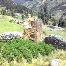
Conchamarca District, Administrative district in Ambo Province, Peru.

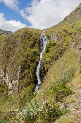
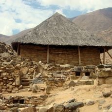
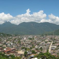
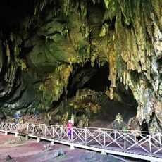
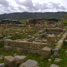
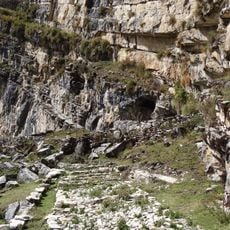
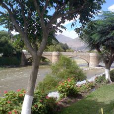
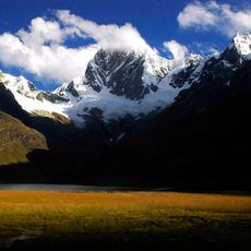
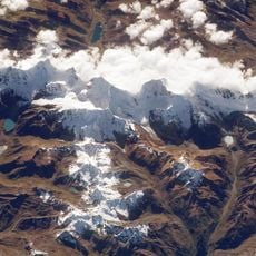
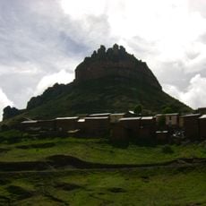
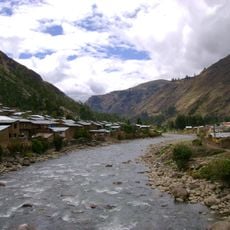
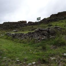
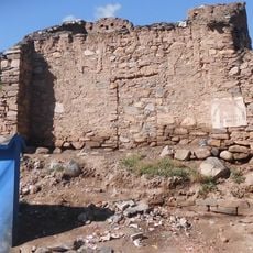
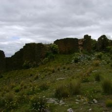
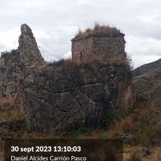
Conchamarca District is an administrative area in Ambo Province, located in the Huánuco Region at approximately 2,226 meters (7,304 feet) elevation in the Andes. The territory encompasses mountainous terrain with several communities spread across valleys and slopes.

The district was officially established in 1940 as part of the administrative reorganization of Ambo Province. This formalization helped define territorial boundaries and local governance structures in the Huánuco Region.

The district holds both Spanish and Quechua speaking communities, with Spanish speakers representing approximately 75 percent of the local population.

The district connects to neighboring areas through local roads linking to Amarilis, Molino, Tomay Kichwa, Ambo, Huacar, and Pillco Marca. Visitors should be prepared for mountain conditions given the high elevation and terrain.

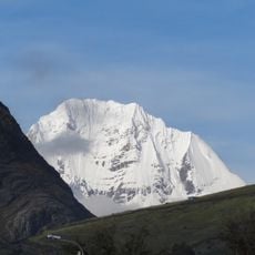
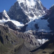
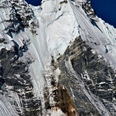
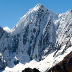
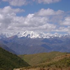
The Wamanripayuq peak rises to about 4,960 meters (16,273 feet) and stands as a notable geographical feature within the district. This prominent mountain serves as a natural landmark visible from surrounding communities.

The community of curious travelers

AroundUs brings together thousands of curated places, local tips, and hidden gems, enriched daily by 60,000 contributors worldwide.

Start exploring
Location
Capital city
Conchamarca
Elevation above the sea
2,226 m
Shares border with
Amarilis District, Molino District, Tomay Kichwa District, Ambo District, Huacar District, Pillco Marca
Address
Conchamarca, Peru
GPS coordinates
-10.03588,-76.21644
Latest update
December 12, 2025 12:03
Reviews
Share your experience

No review yet

Discussions
Start a discussion...

No discussion yet

« Conchamarca District - Administrative district in Ambo Province, Peru » is provided by Around Us (aroundus.com). Images and texts are derived from Wikimedia project under a Creative Commons license. You are allowed to copy, distribute, and modify copies of this page, under the conditions set by the license, as long as this note is clearly visible.

Discover hidden gems everywhere you go!

From secret cafés to breathtaking viewpoints, skip the crowded tourist spots and find places that match your style. Our app makes it easy with voice search, smart filtering, route optimization, and insider tips from travelers worldwide. Download now for the complete mobile experience.

Around Us App Screenshot

A unique approach to discovering new places

Le Figaro

All the places worth exploring

France Info

A tailor-made excursion in just a few clicks

20 Minutes

Around Us
Travel Guide & Maps
Download

Send to your phone

QR Code
1

Open the camera app on your mobile.

2

Point at the QR code with your camera. A notification will appear.

3

Tap the notification to open the link.